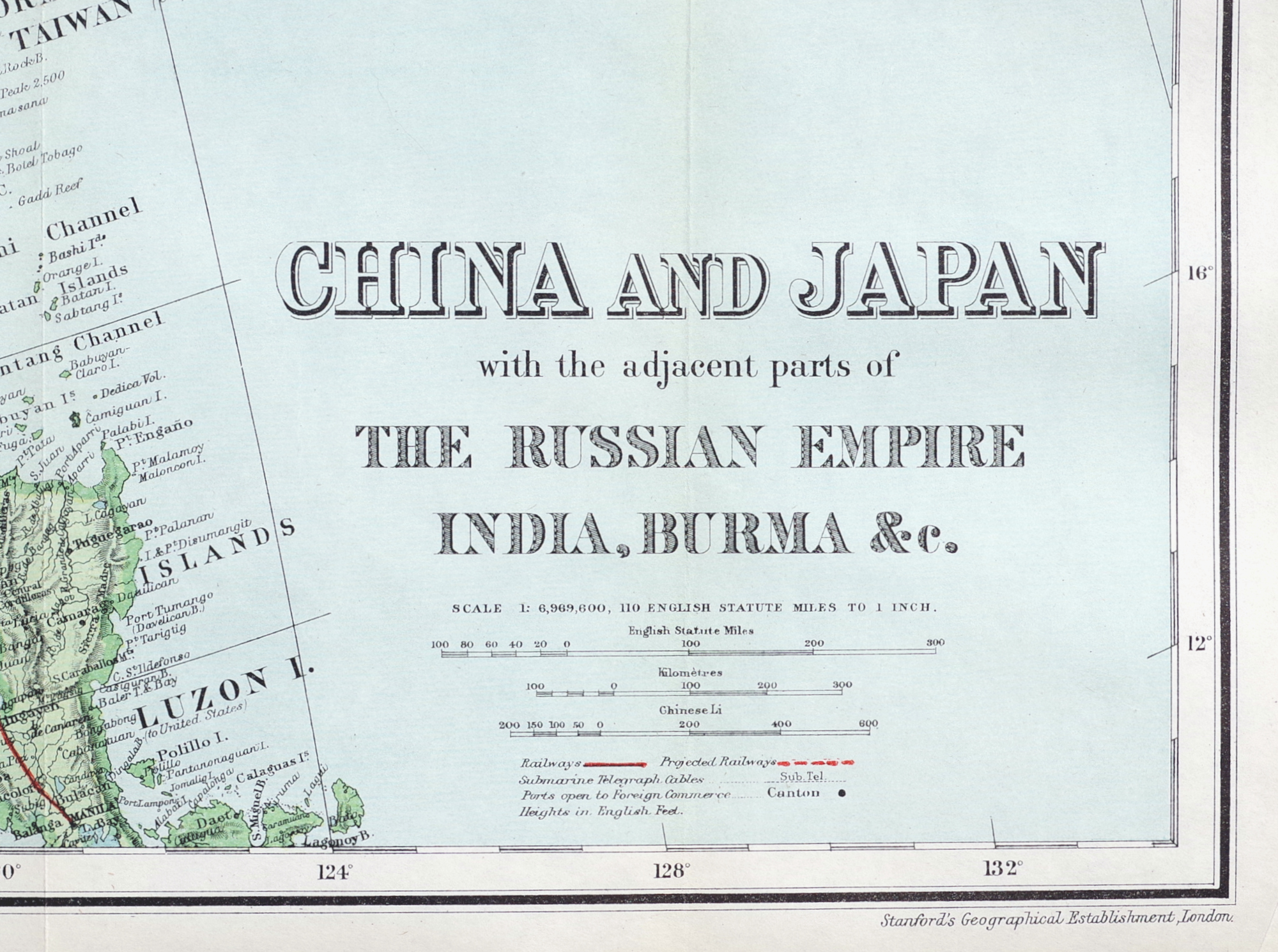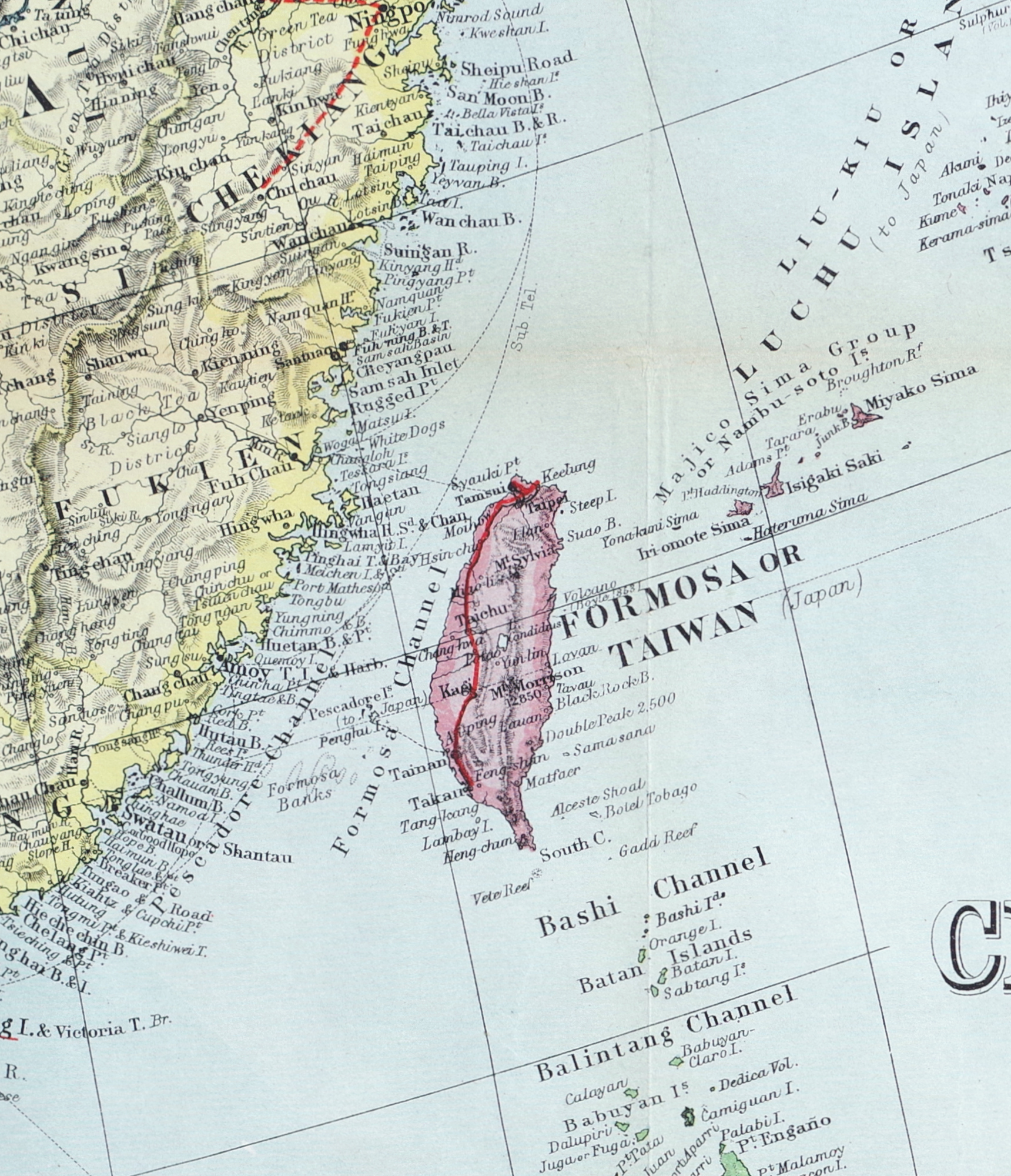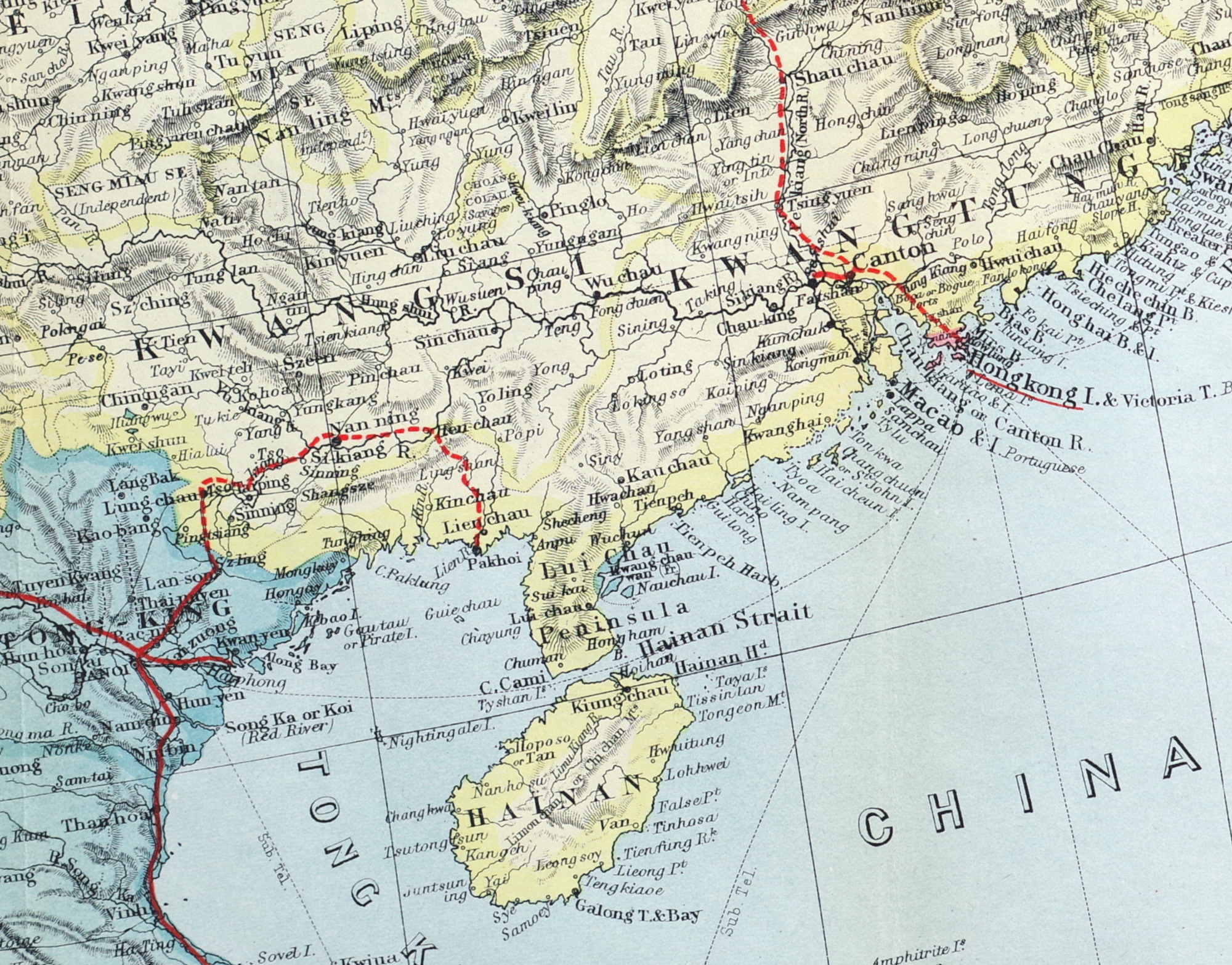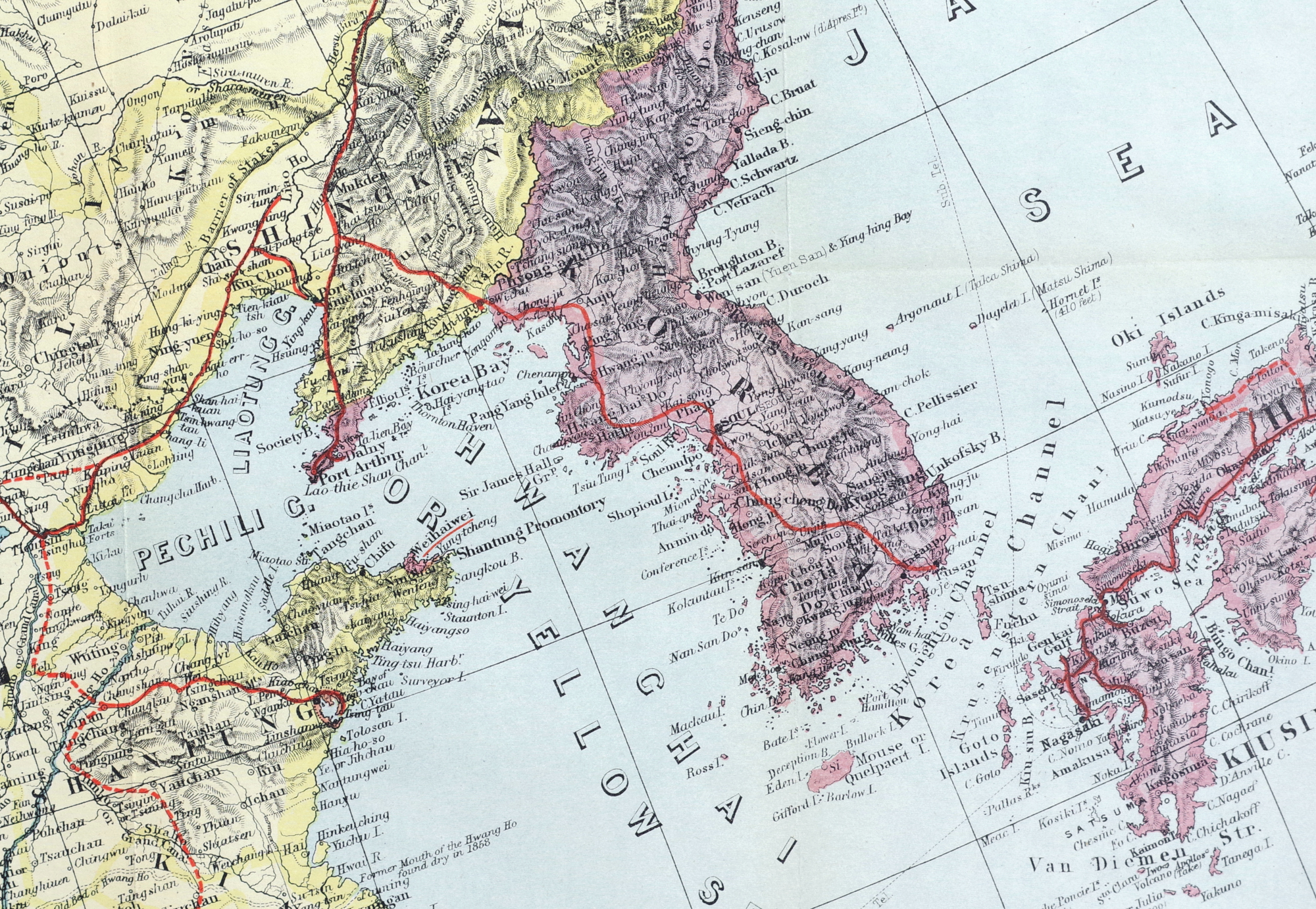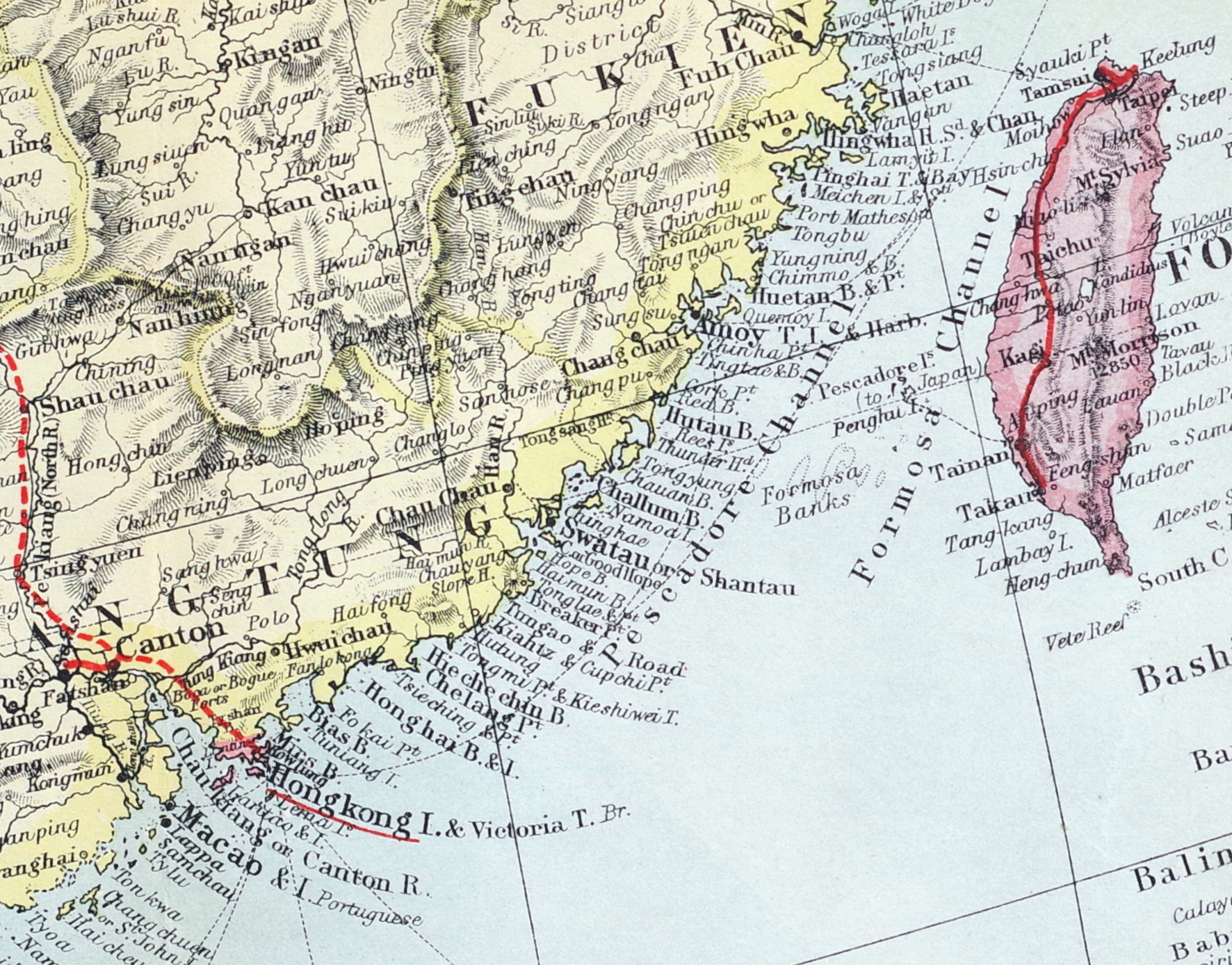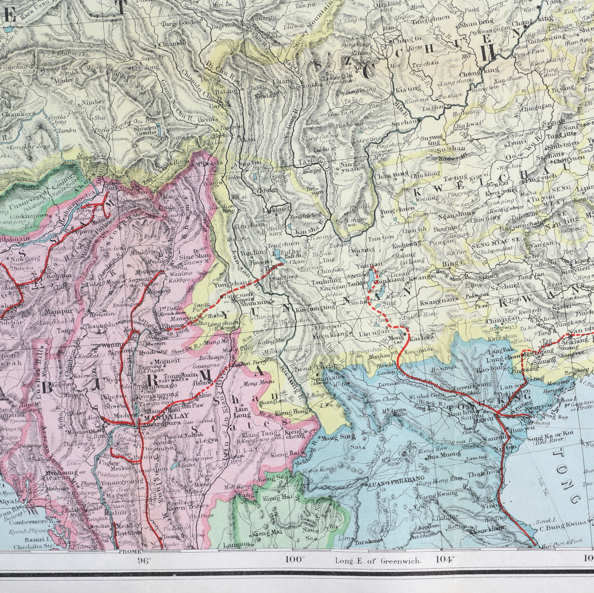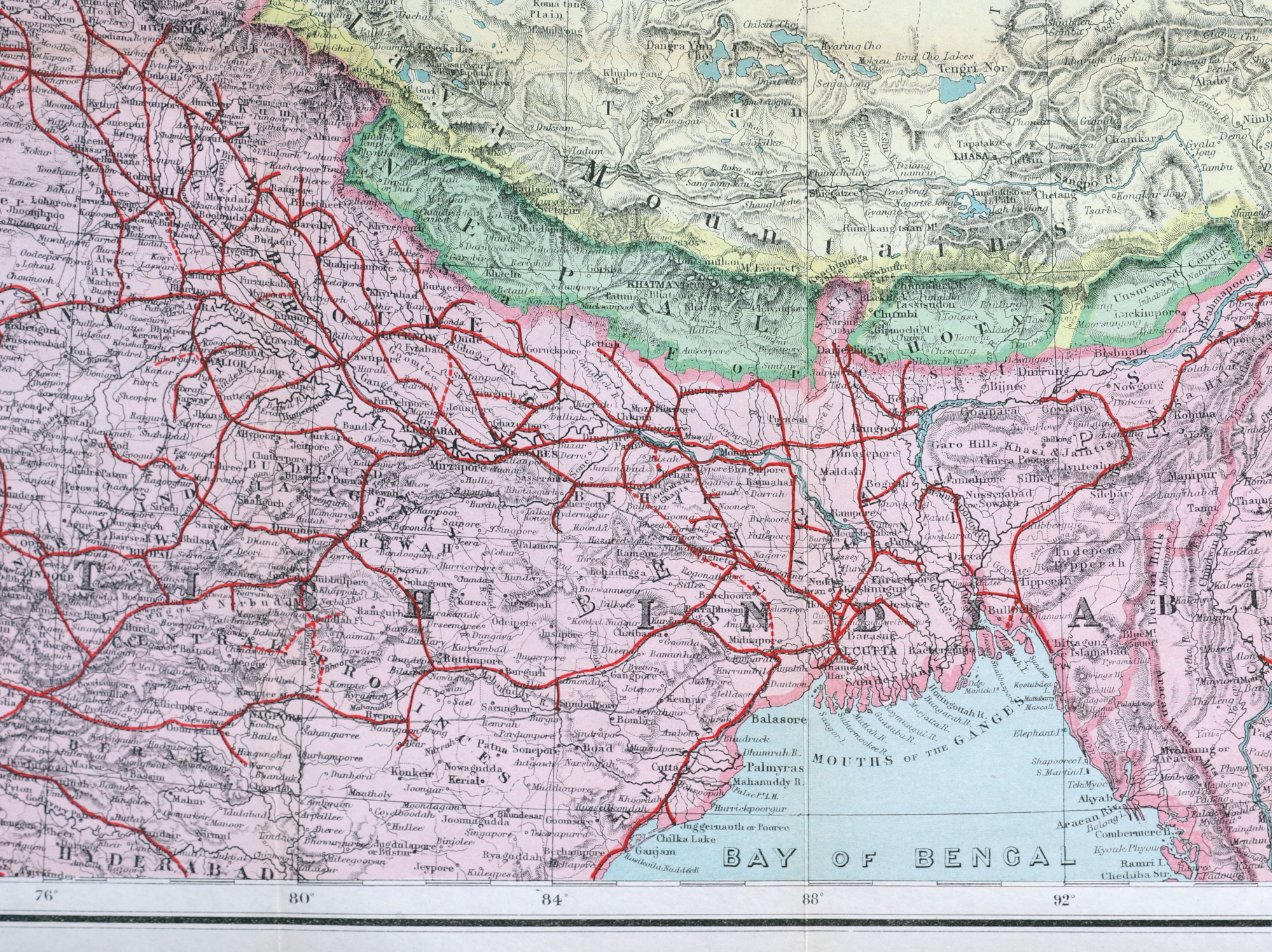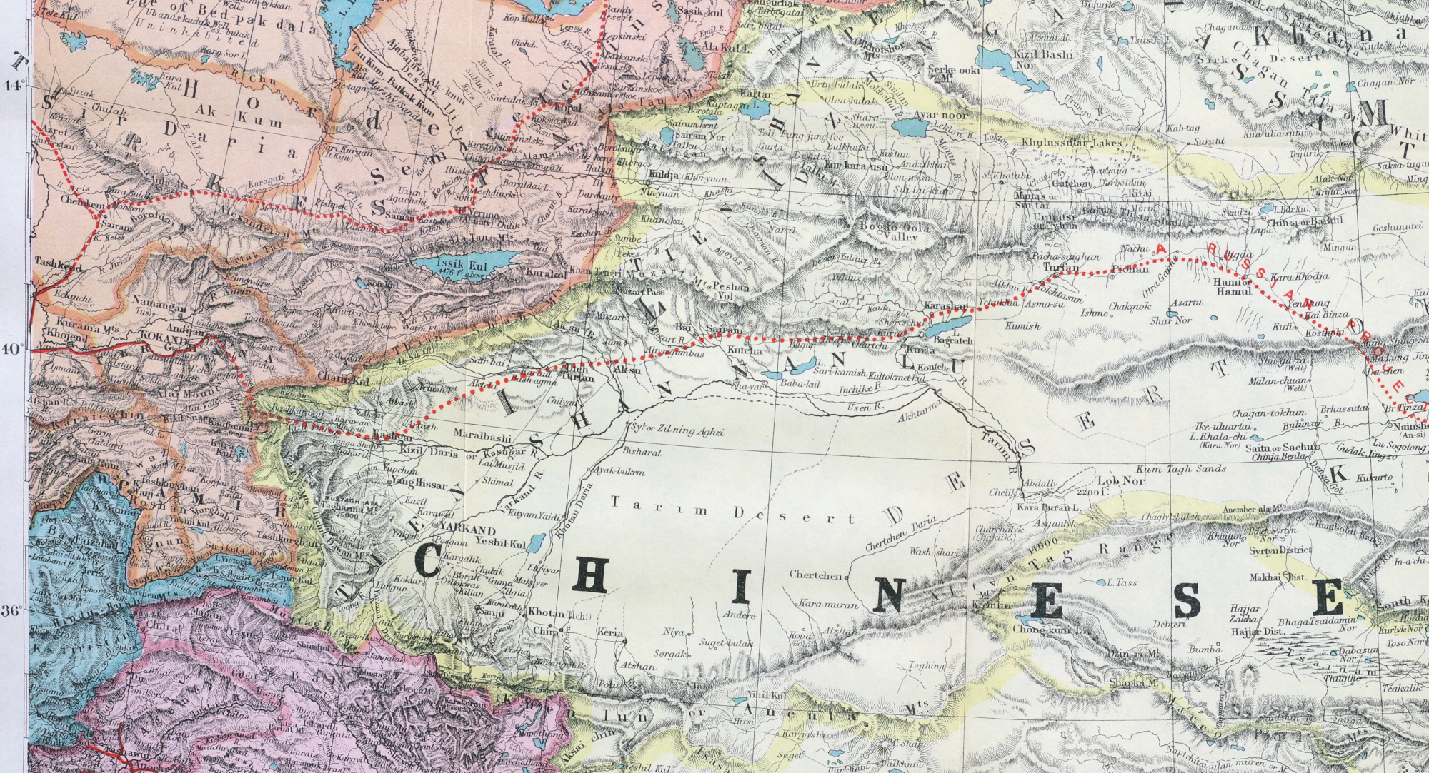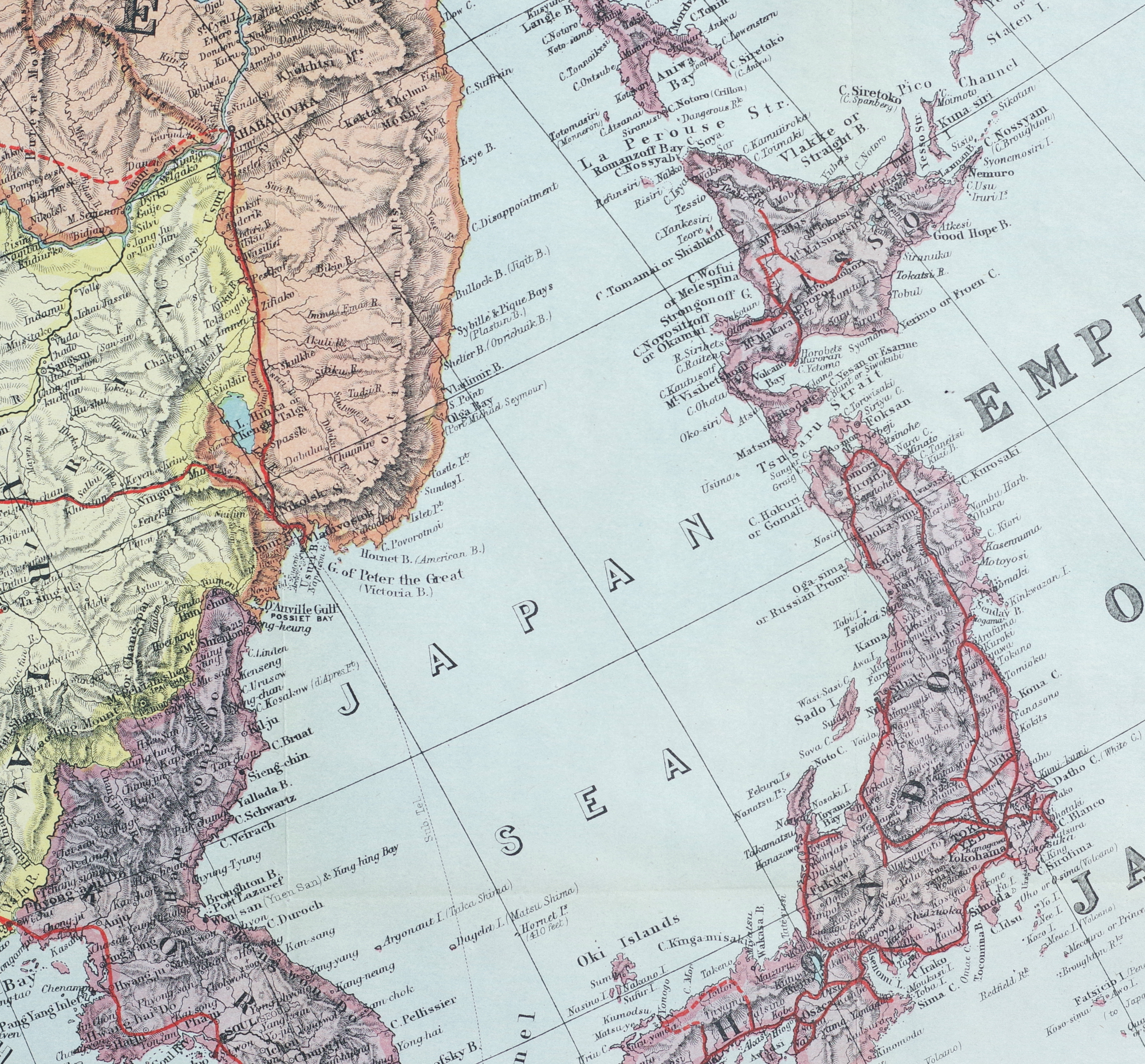
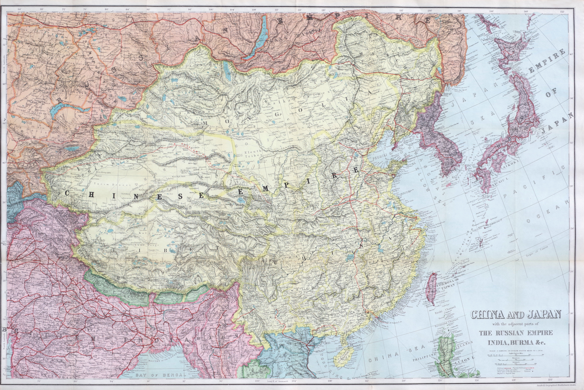
Stanford Map of China and Japan
"China and Japan with the adjacent parts of The Russian Empire, India, Burma etc."
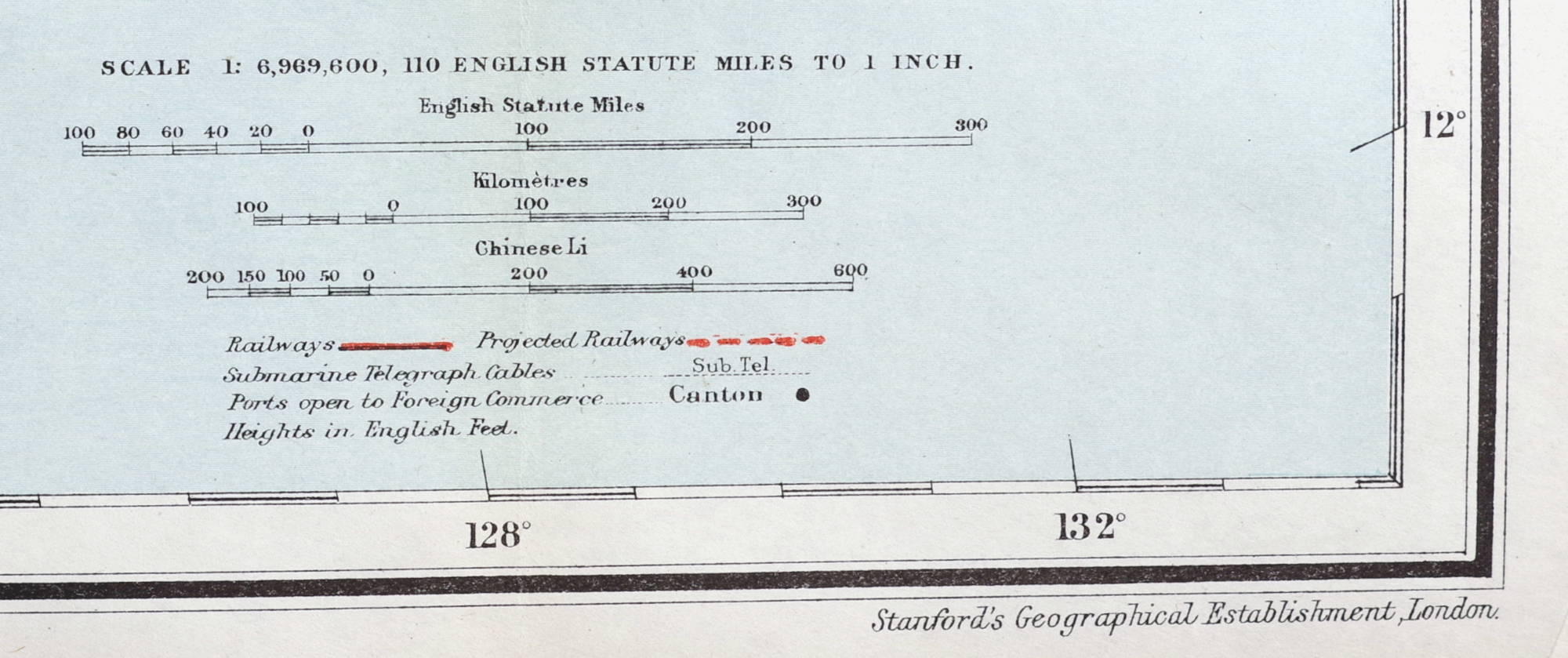
Color-printed map, circa 1908 (Port Arthur and Korea are both indicated to be under Japanese control), published by Stanford's Geographical Establishment, London, a highly detailed map showing railways (existing and projected), submarine telegraph cables, and ports open to foreign commerce, on thin white paper
Sheet 26 x 39 inches