
1851 Map of Railroads from Boston to Nova Scotia and St Louis
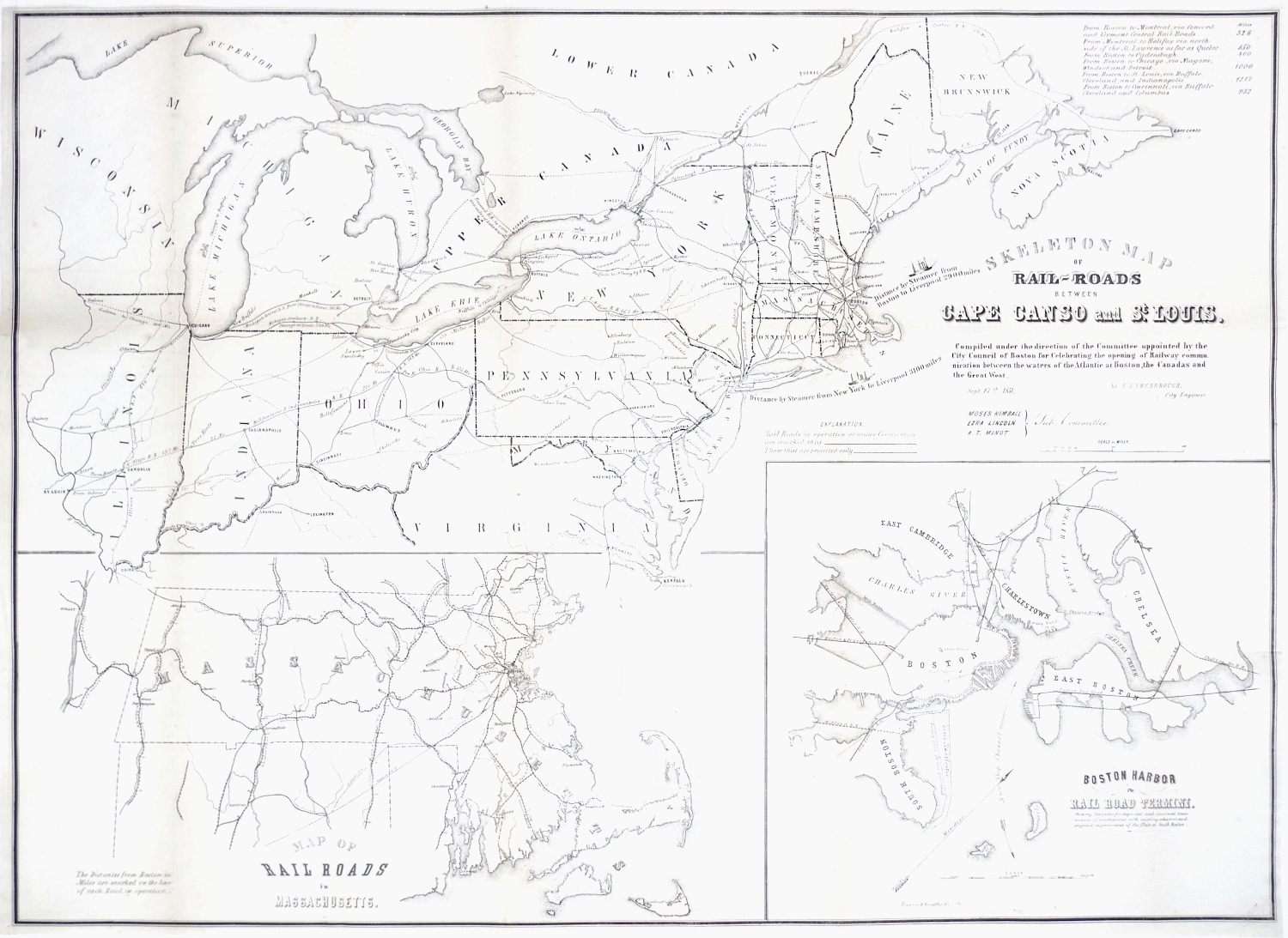
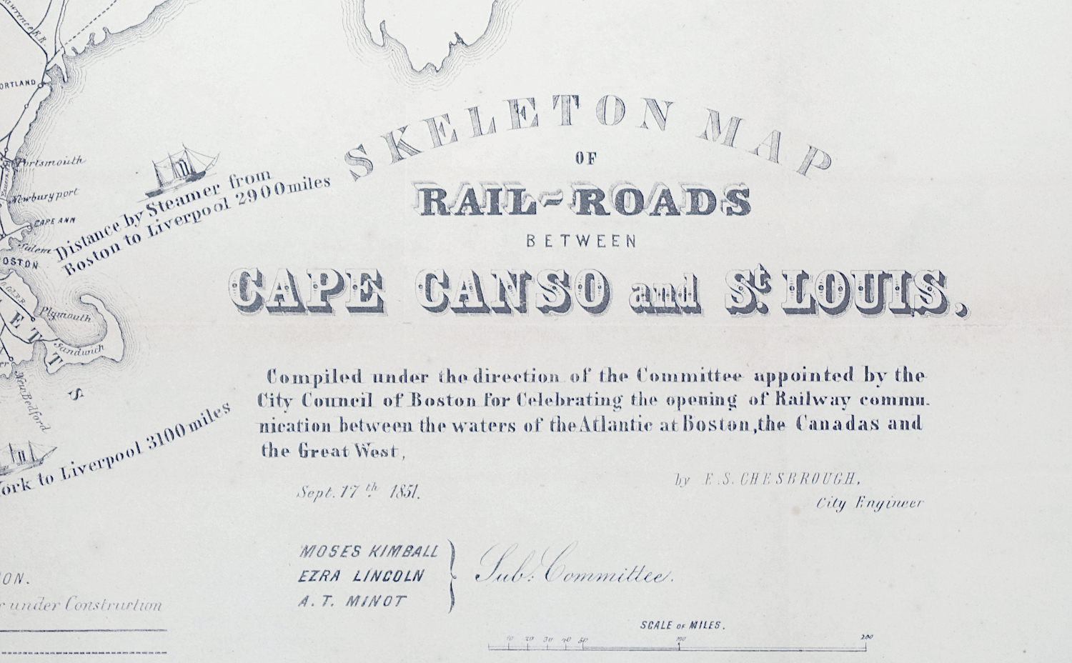
"Skeleton Map of Rail-Roads Between Cape Canso and St Louis"
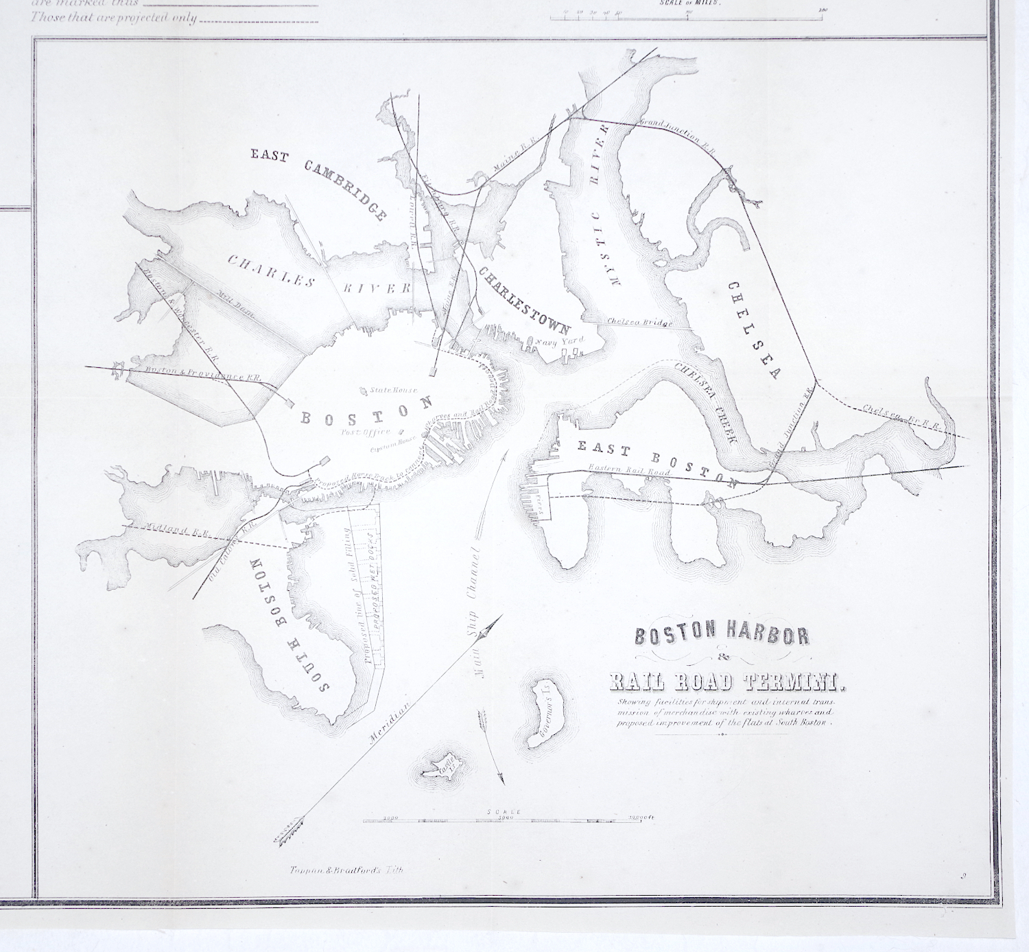
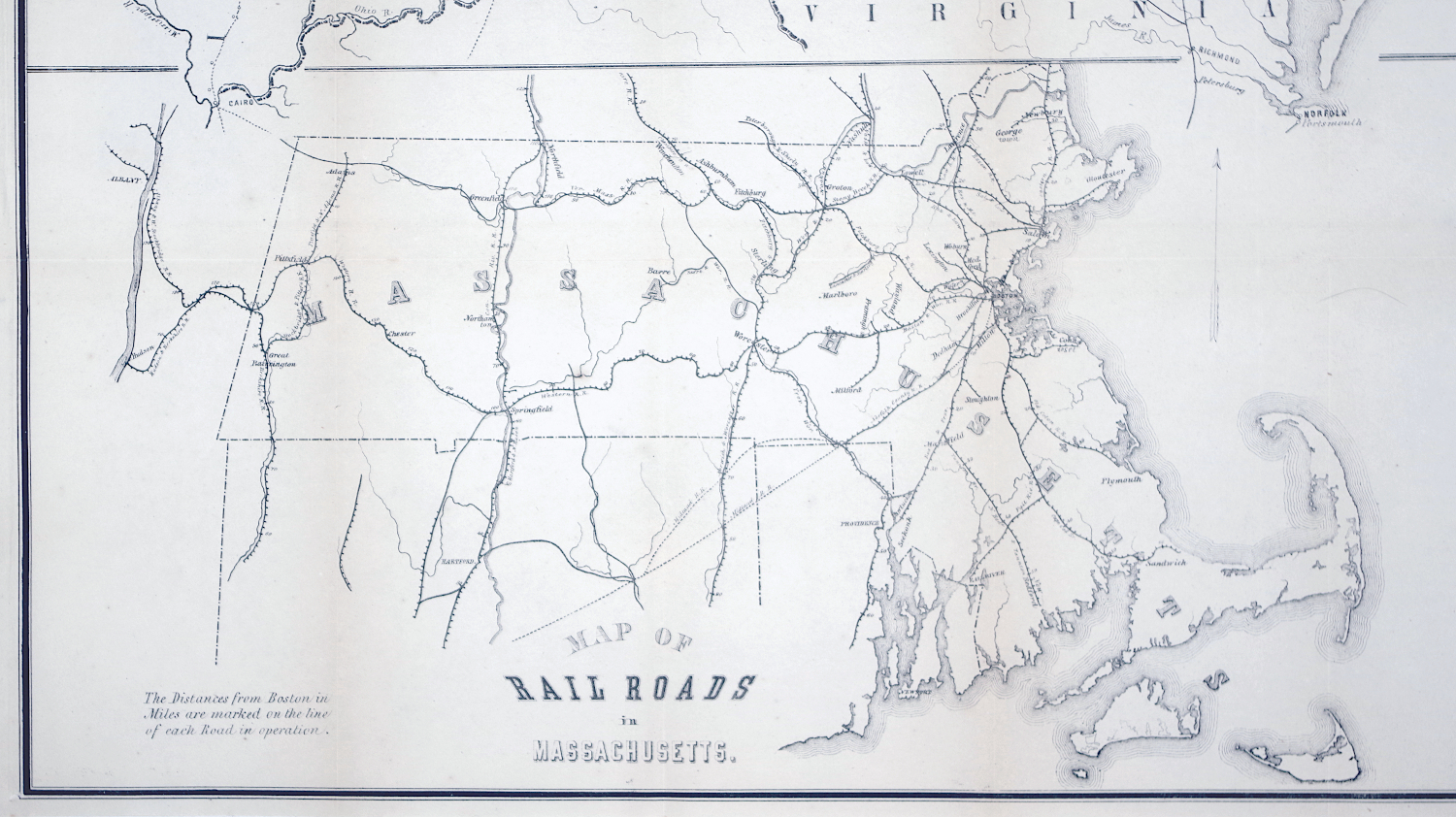
Lithograph folding map, 1851, "Compiled under the direction of the Committee appointed by the City Council of Bosoton for Celebrating the opening of Railway communication between the waters of the Atlantic at Boston, the Canadas and the Great West", printed by Tappan and Bradford [Boston], with inset maps showing "Boston Harbor & Rail Road Termini" and "Map of Rail Roads in Massachusetts"; on thin wove paper, some toning around the (flattened) fold lines but otherwise in very good condition
Sheet 23 1/2 x 32 1/4 inches
$250
The Railroad Jubilee was an event of great civic pride in Boston, celebrating the completion of rail lines to Canada and the west, as well as the steamer lines to Liverpool, and the increased economic significance these uninterrupted lines of trade would provide the city. The celebrations spread over three days, with a tour and speech by President Fillmore, and grand celebrations on the Common.
PURCHASING INFORMATION


