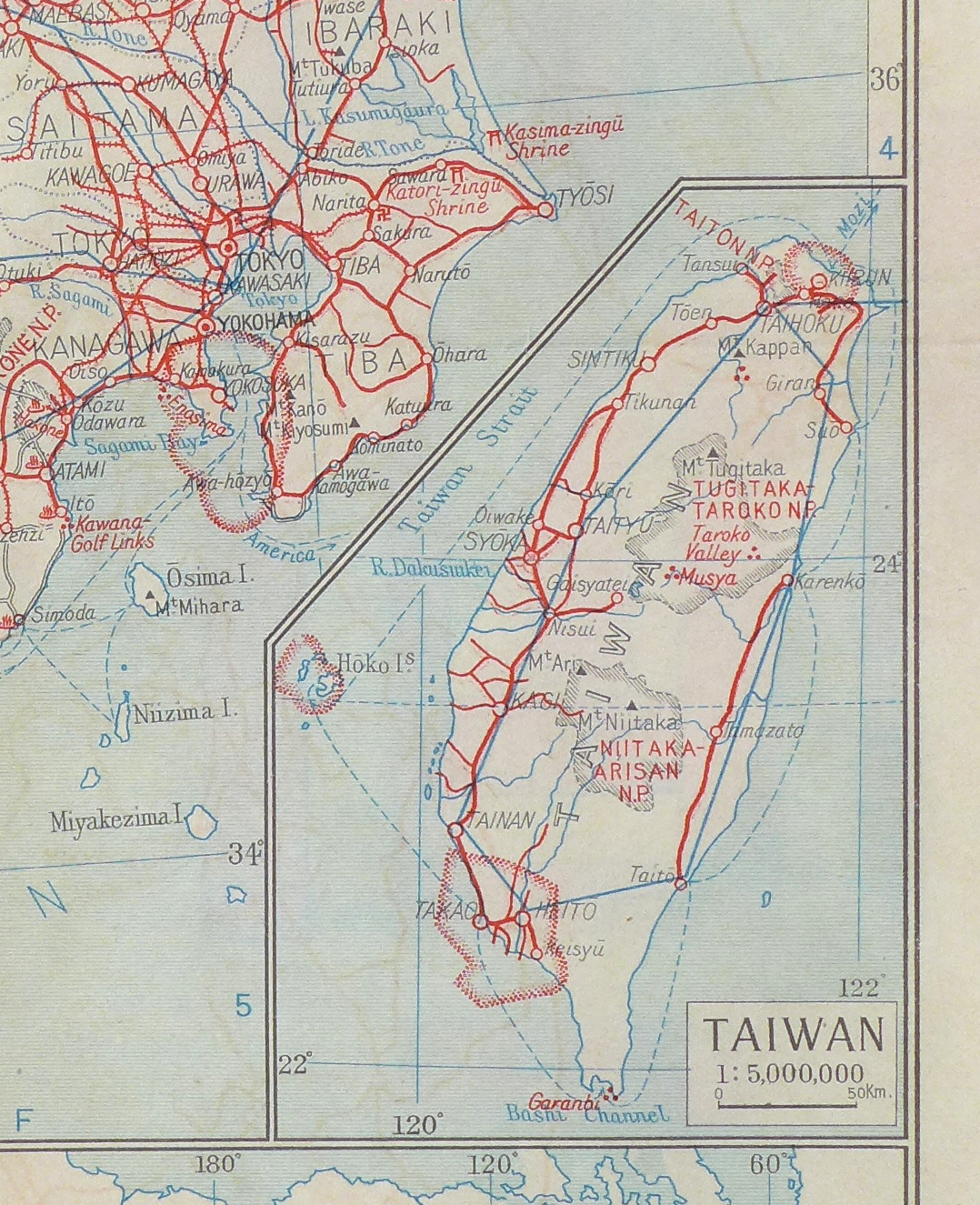
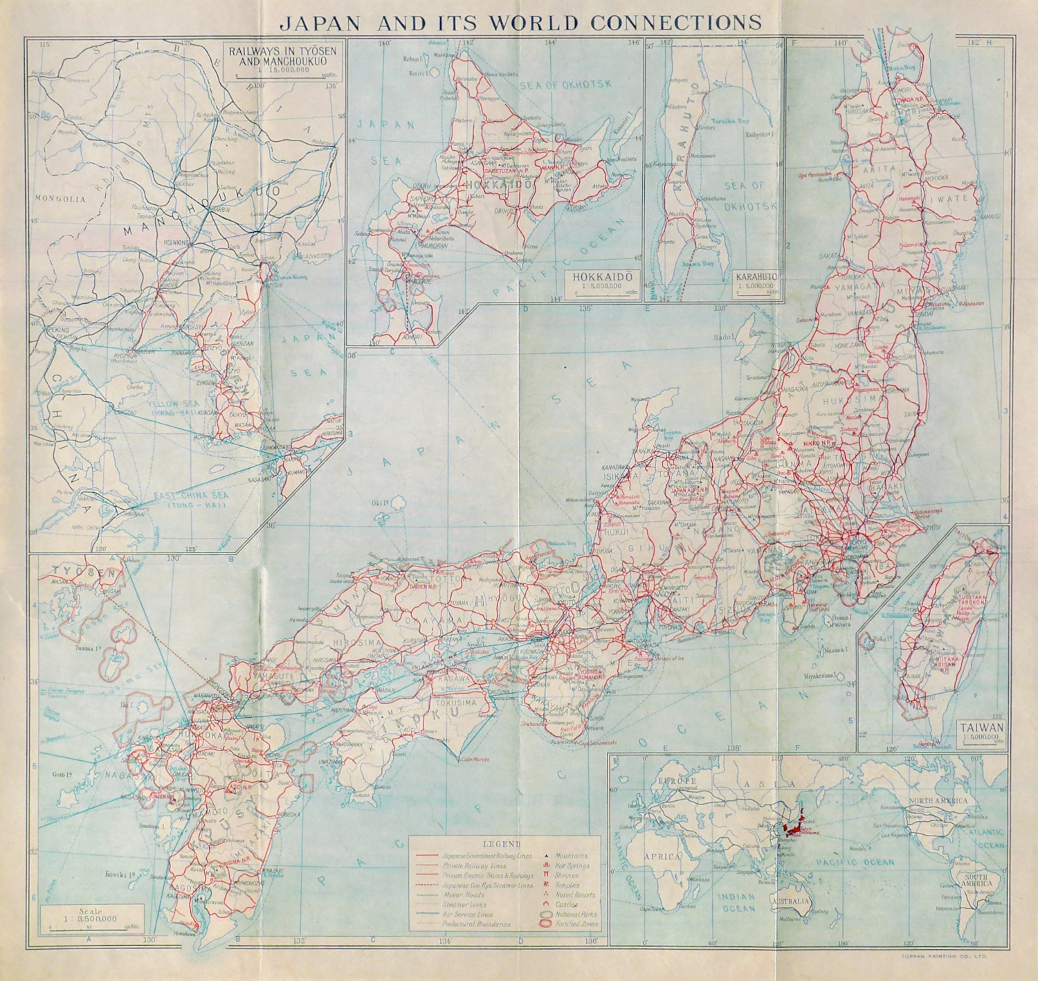
Japanese Government Map Printed on the Eve of World War II
"Japan and Its World Connections"
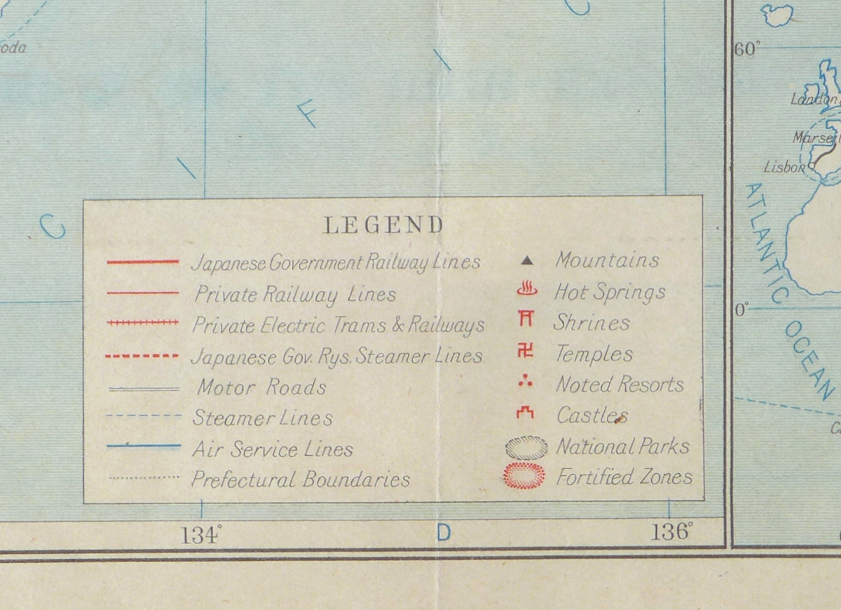
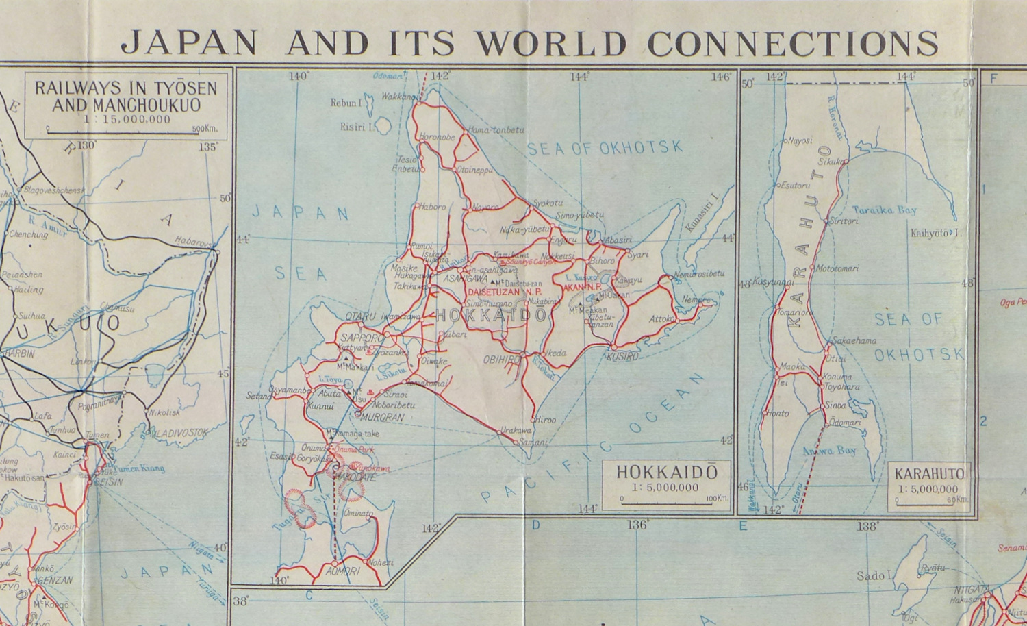
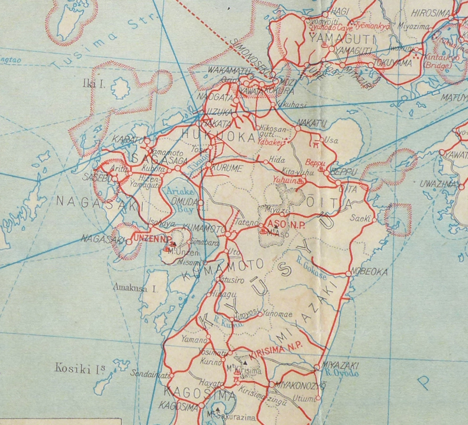
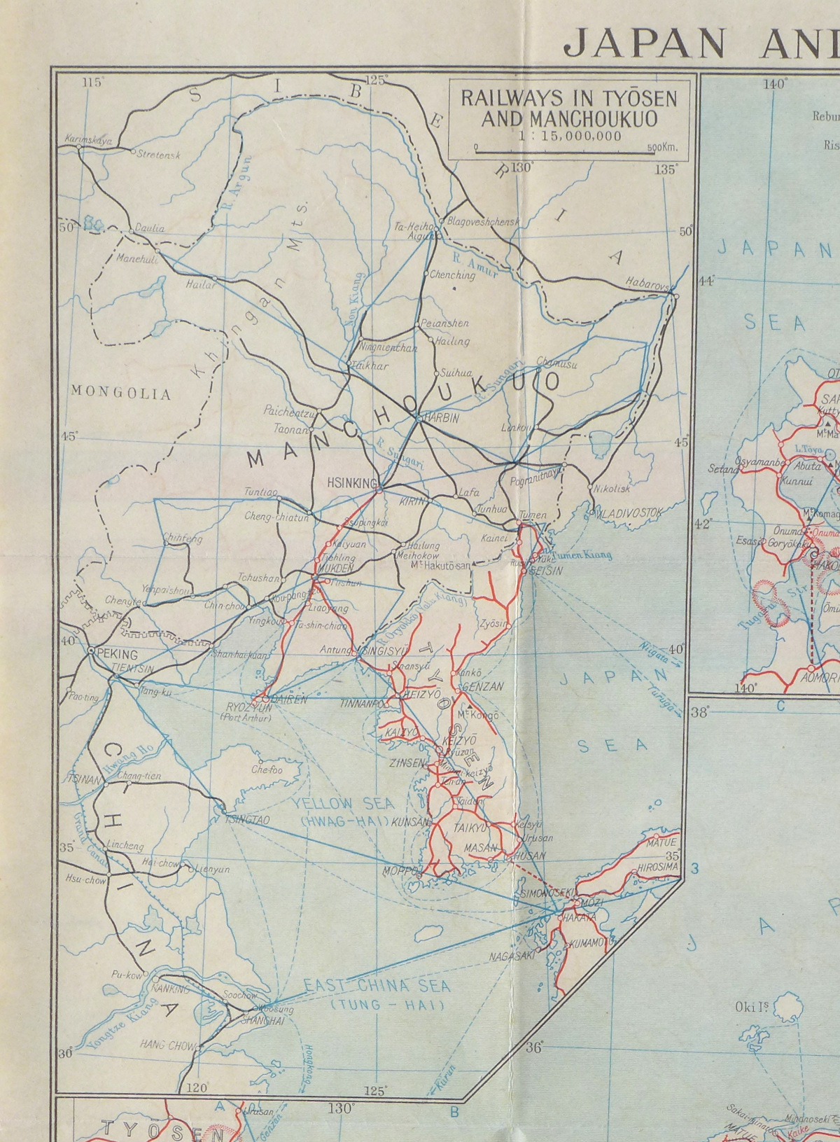
Color-printed map, 1939, published by the Board of Tourist Industry, Japanese Government Railways, and printed by Toppan Printing Co, Tokyo, with inset maps including Korea, Japanese-occupied territory in Manchuria, and Taiwan (under Japanese control since 1895), as well as highlighting railways, roads, steamship lines, temples and more, fortified areas are shown outlined in red, printed to accompany the 137 page booklet "Pocket Guide to Japan", which has extensive detail on the country and its history - although the recent military events are described rather blithely, "In 1931, the Manchurian Incident occurred involving China and Japan, and in the following year, the Shanghai Incident. Again, in July of 1937, [the] Japan-China Incident occurred. The significance of the present Incident can be discerned from the fact that it involves all the important cities and territories of China." - and warns that "While photographing or sketching may be enjoyed throughout Japan, caution should be taken not to photograph or sketch in the fortified zones and many other restricted districts", on thin off-white paper, with vertical and horizontal folds as issued (now somewhat flattened); an approximately 2" restored tear at the left, and some slight offset, but otherwise in very good condition
Sheet 14 1/2 x 15 3/8 inches
PURCHASING INFORMATION
