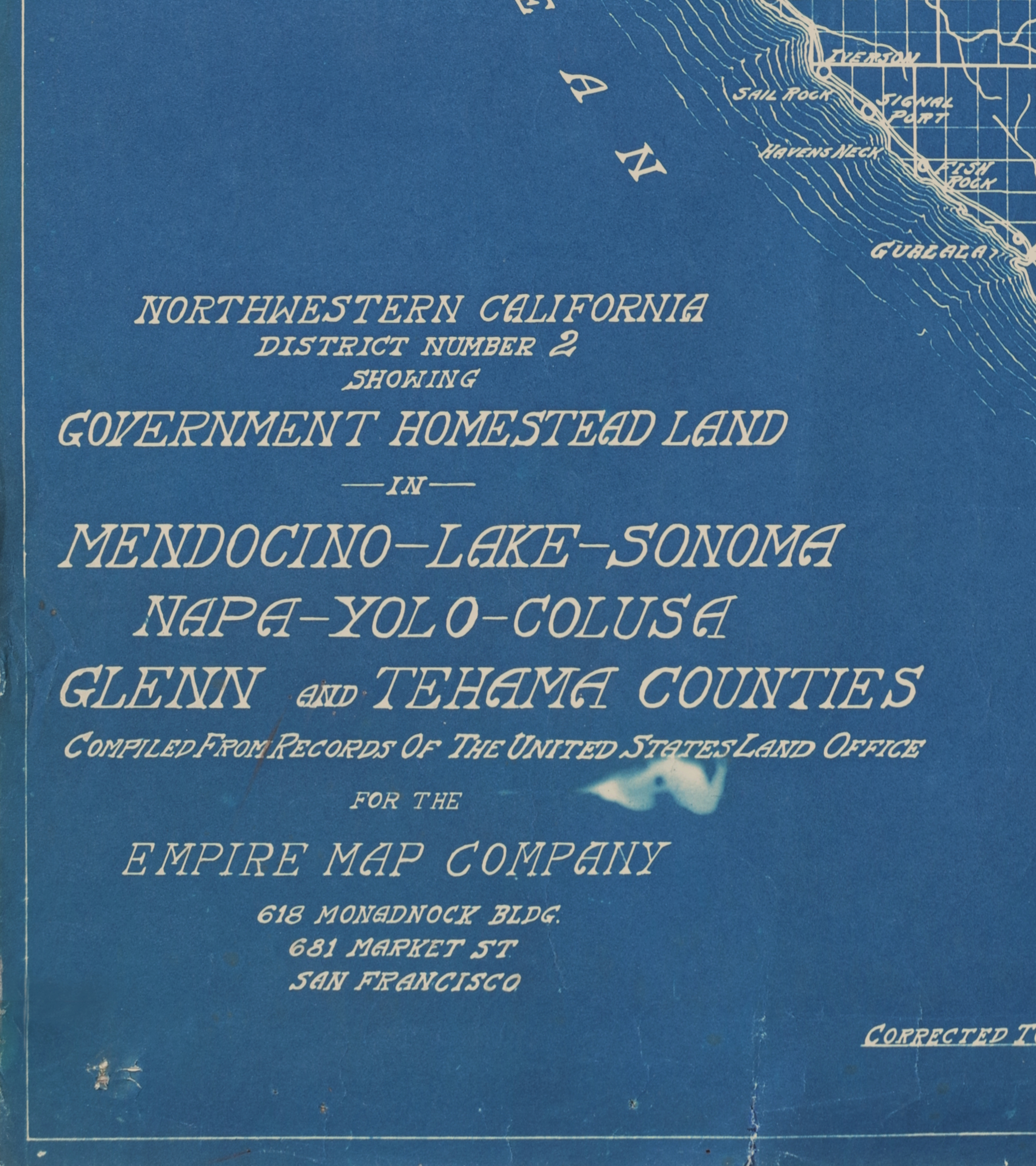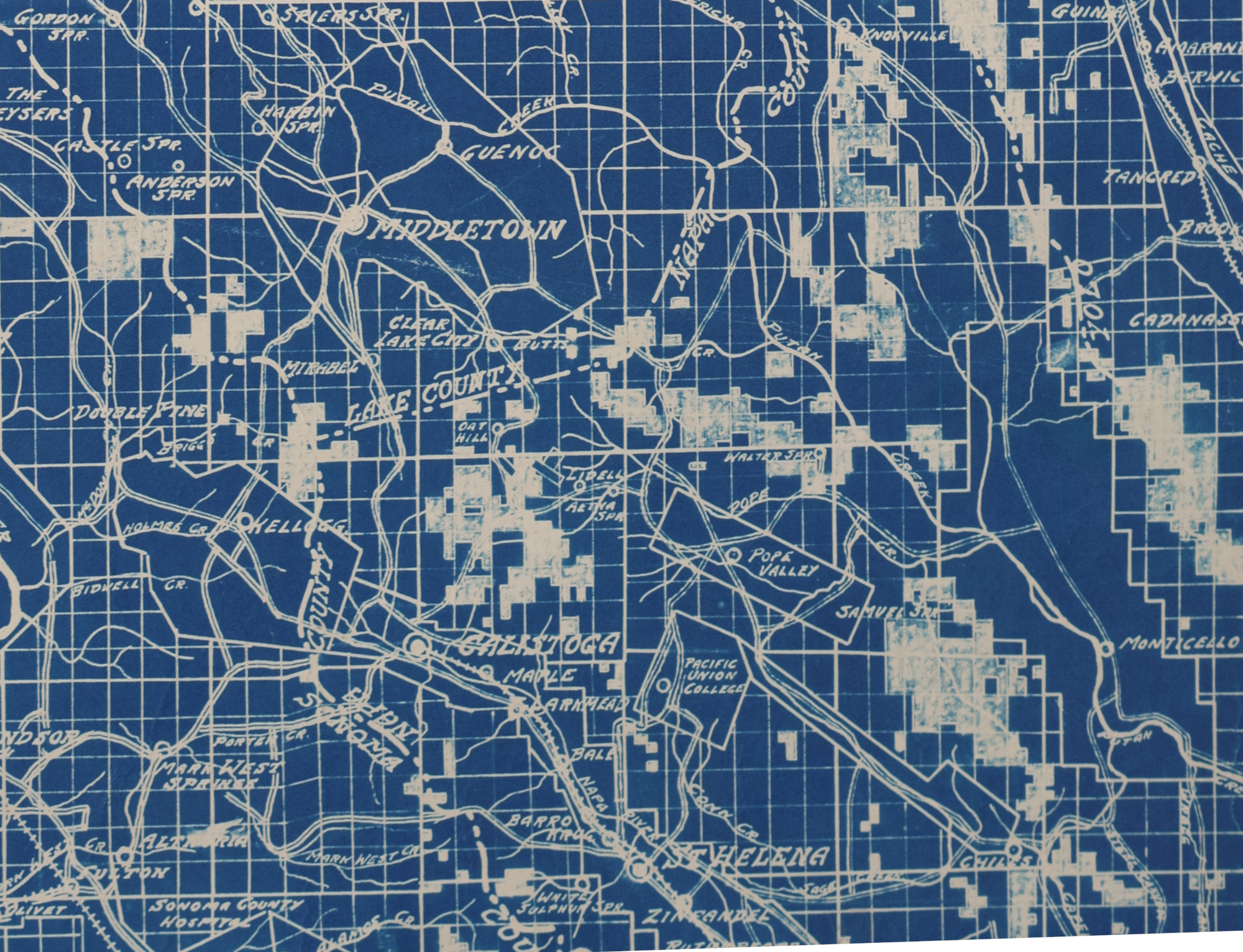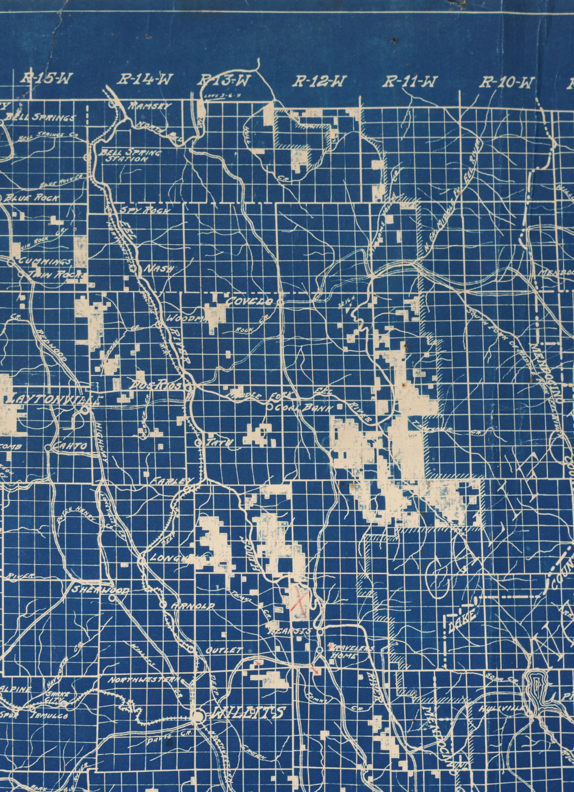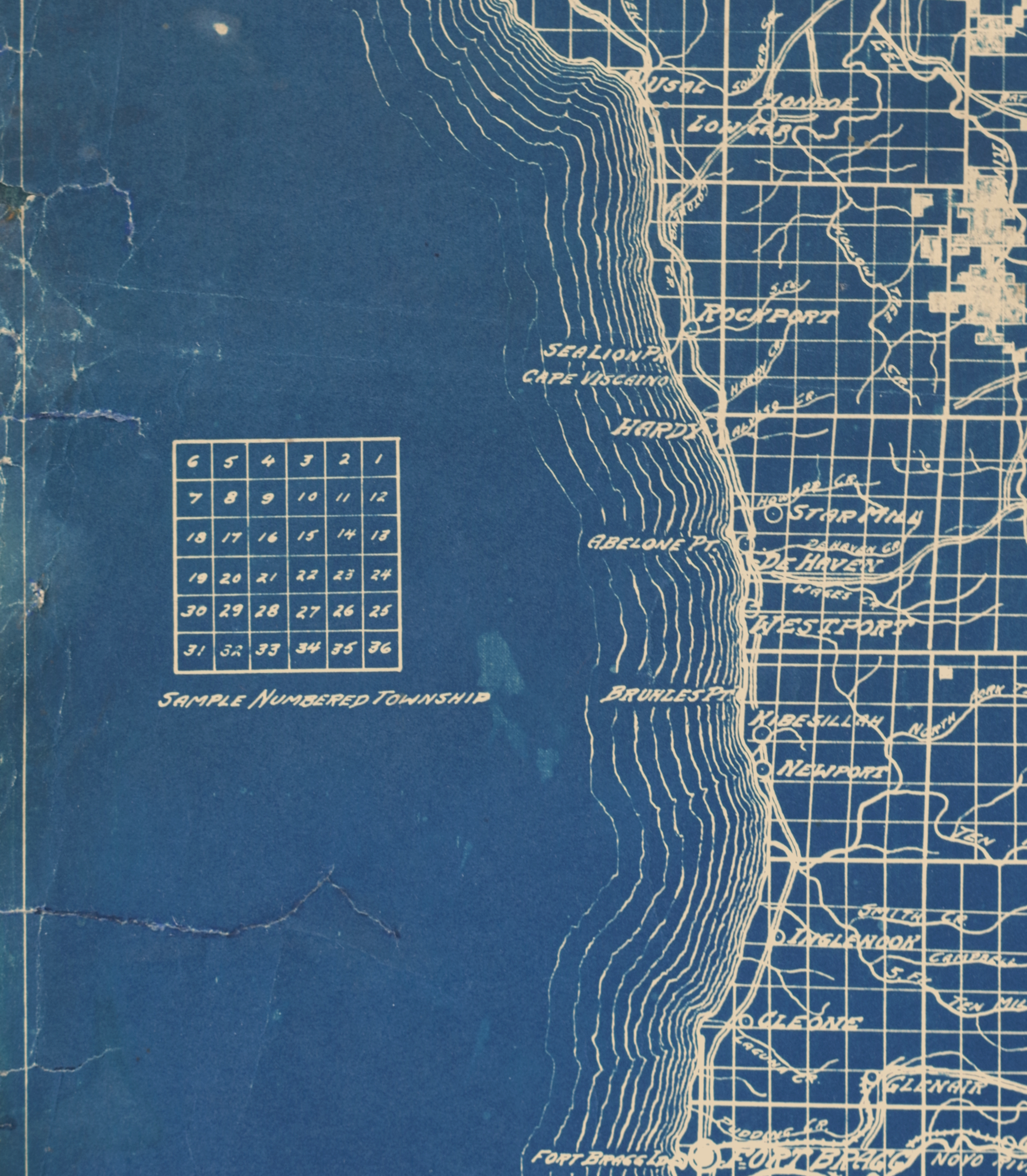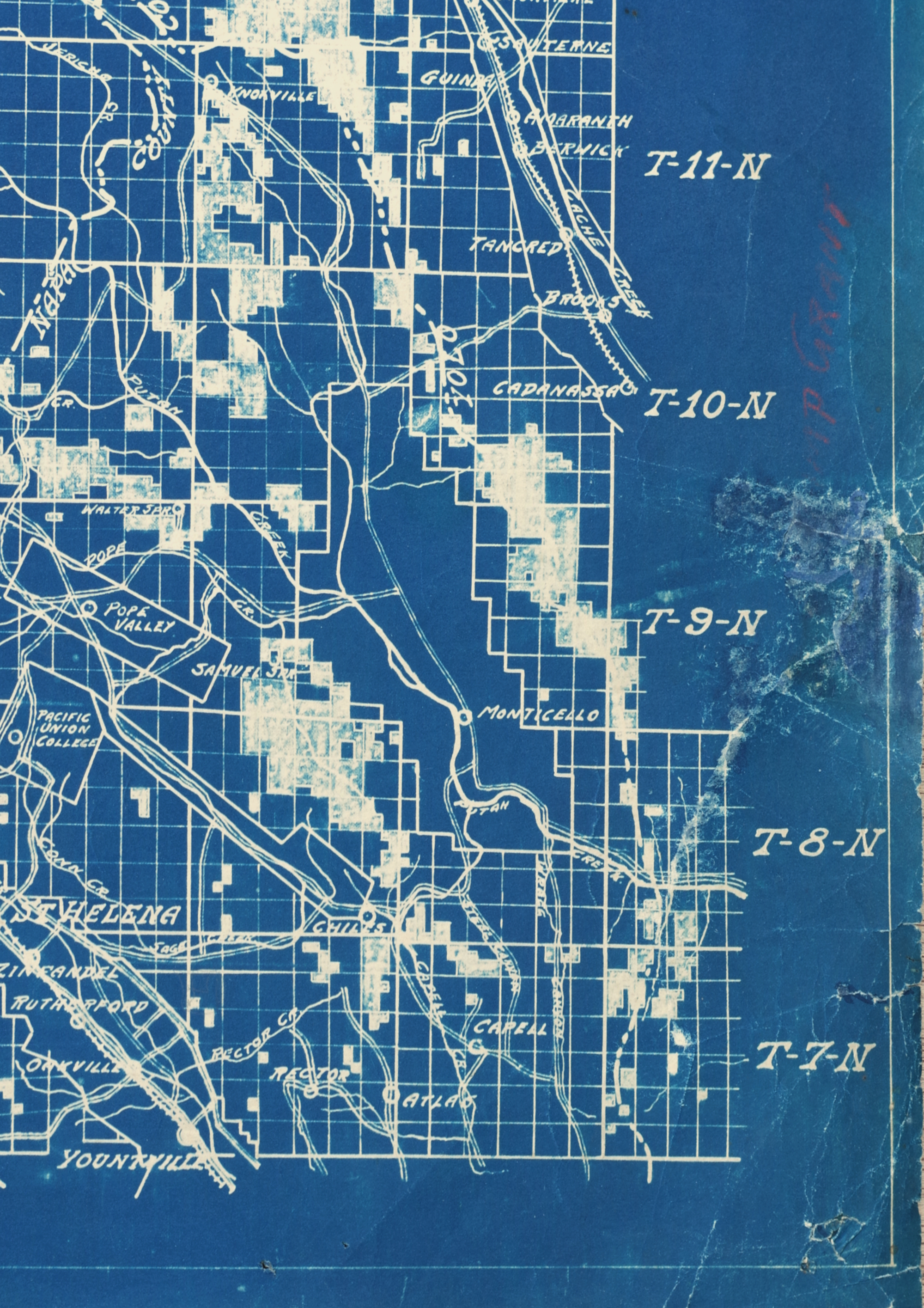
1930s Homestead Land Map - Northern California
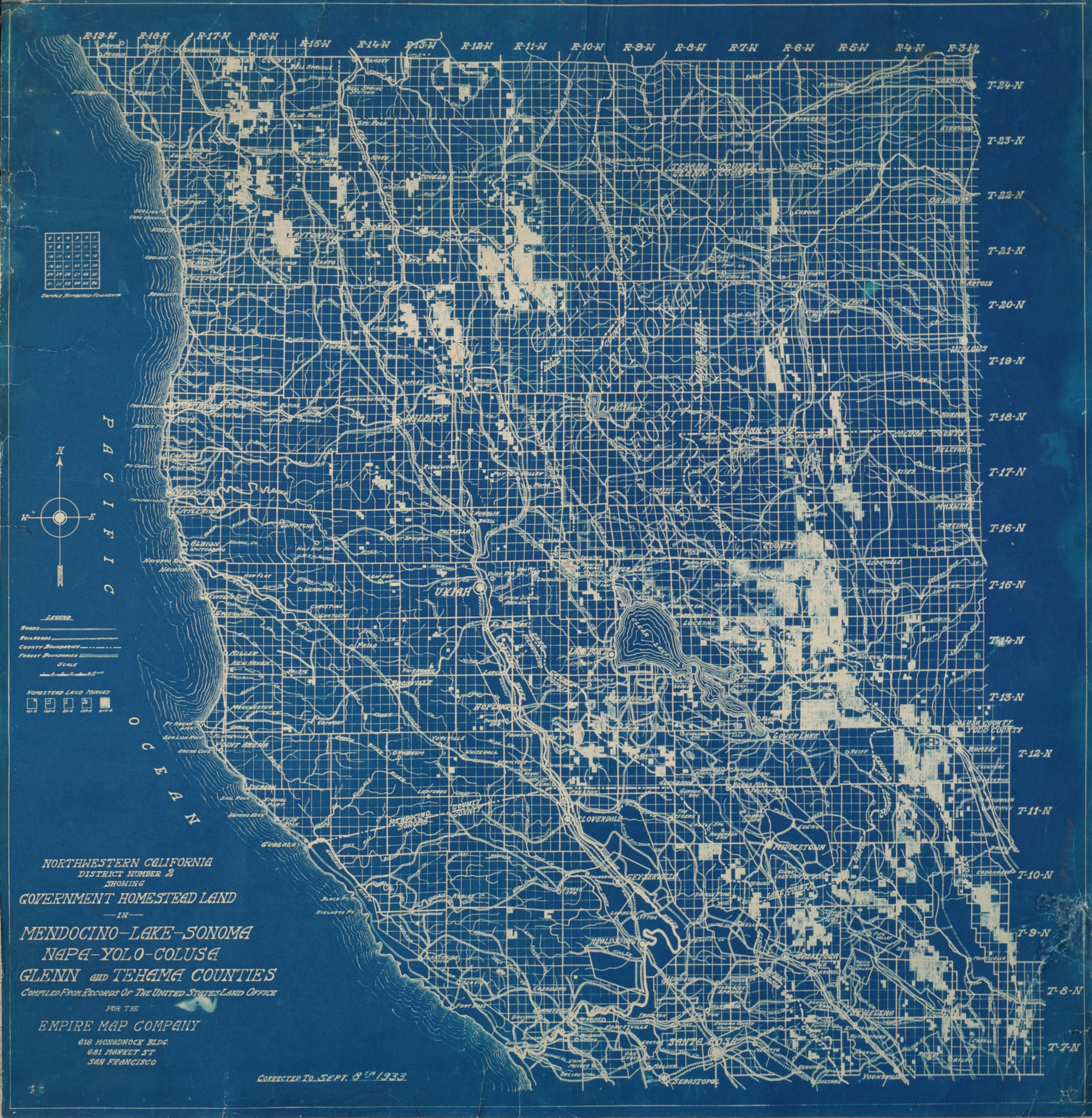
"Northern California, District Number 2, Showing Government Homestead Land in Mendocino - Lake - Sonoma - Napa - Yolo - Colusa - Glenn and Tehama Counties"
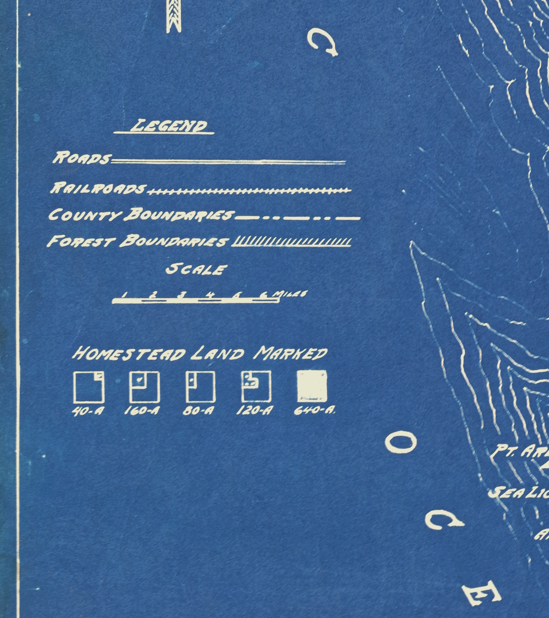
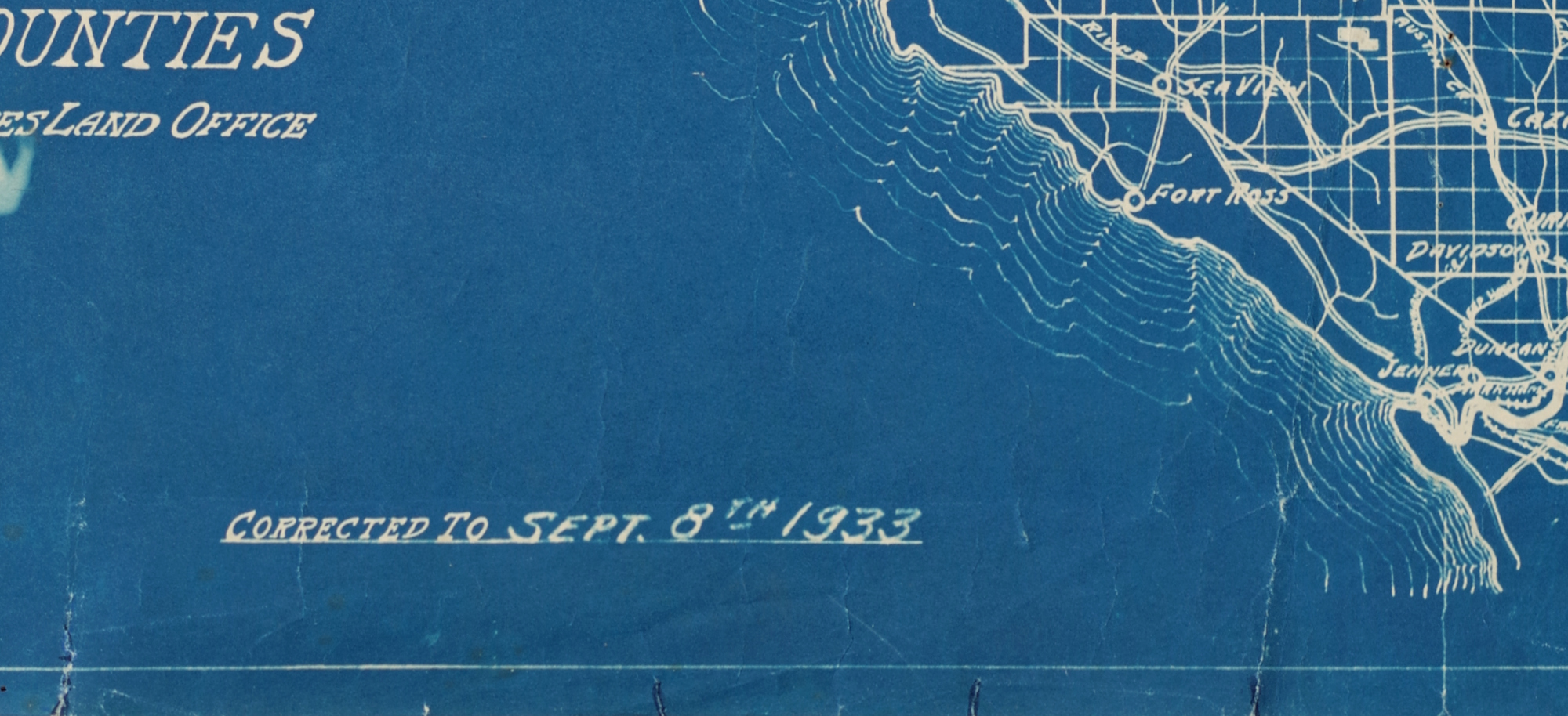
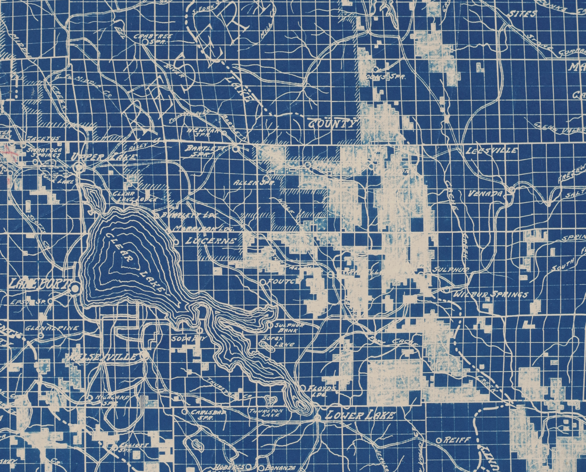
Blueprint map, 1933, compiled from records of the US Land Office by the Empire Map Company, San Francisco, showing five different types of homestead land still available (at this late point in the homestead program), presumably produced as an inexpensive, easily changed blueprint-process map by an enterprising publisher, with red pencil marks on a few property locations, and an indistinct line of text center-right
Sheet 30 1/2 x 30 inches