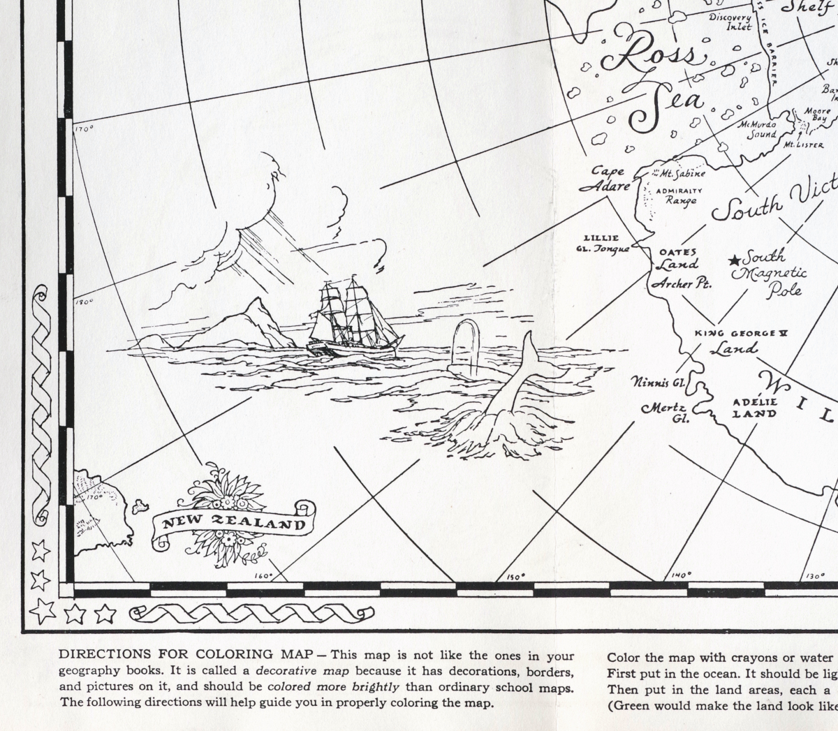
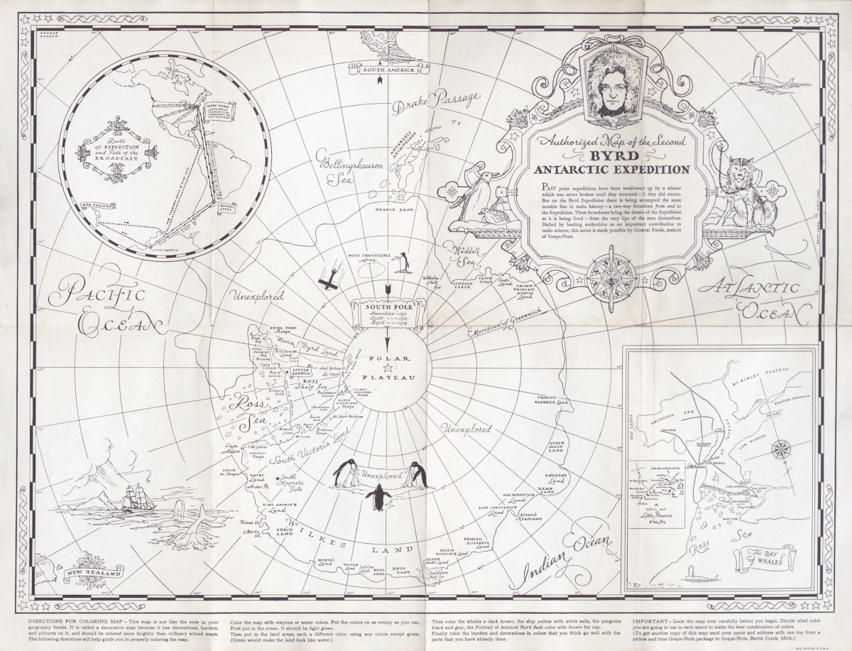
Byrd Antarctic Expedition Map - Ready For Coloring By Children
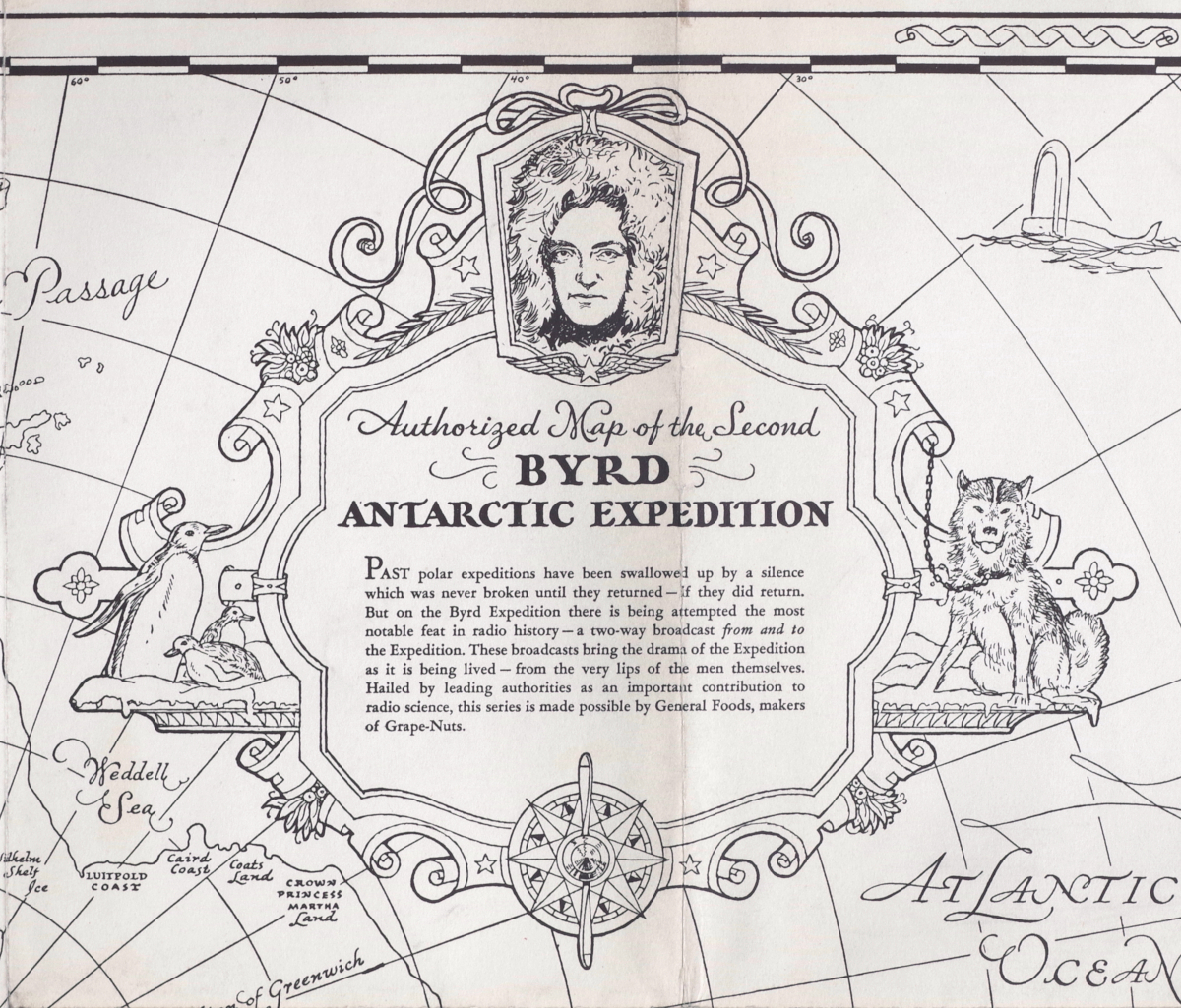
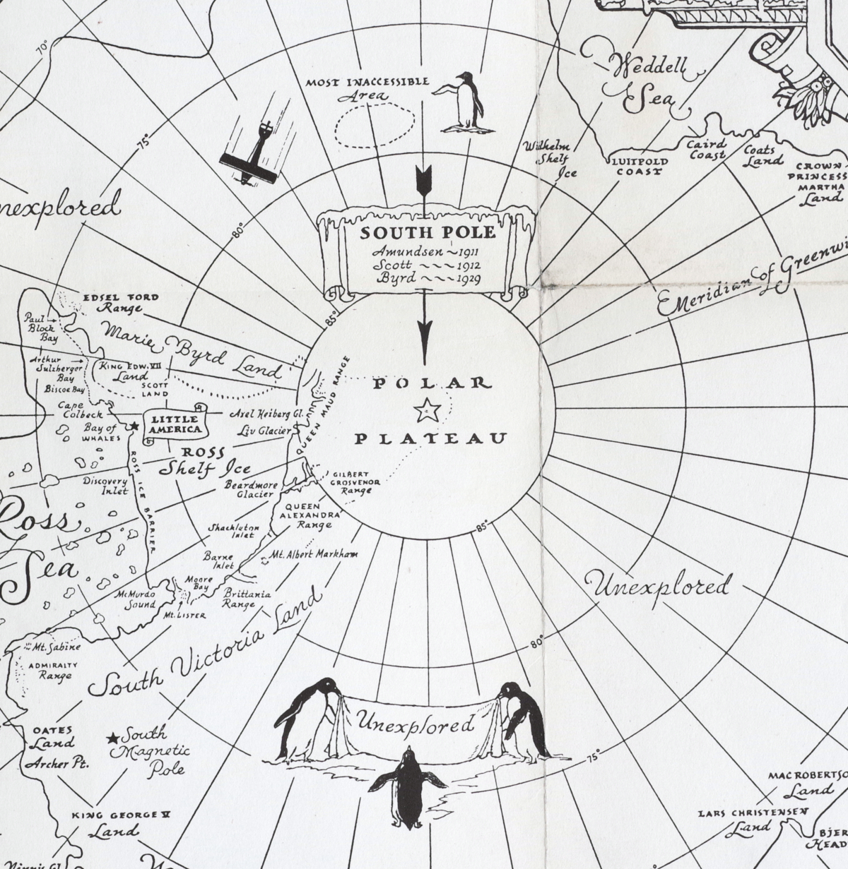
“Authorized Map of the Second Byrd Antartic Expedition"
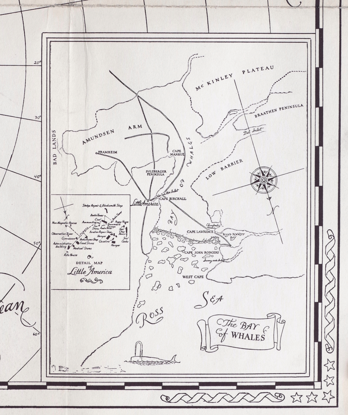
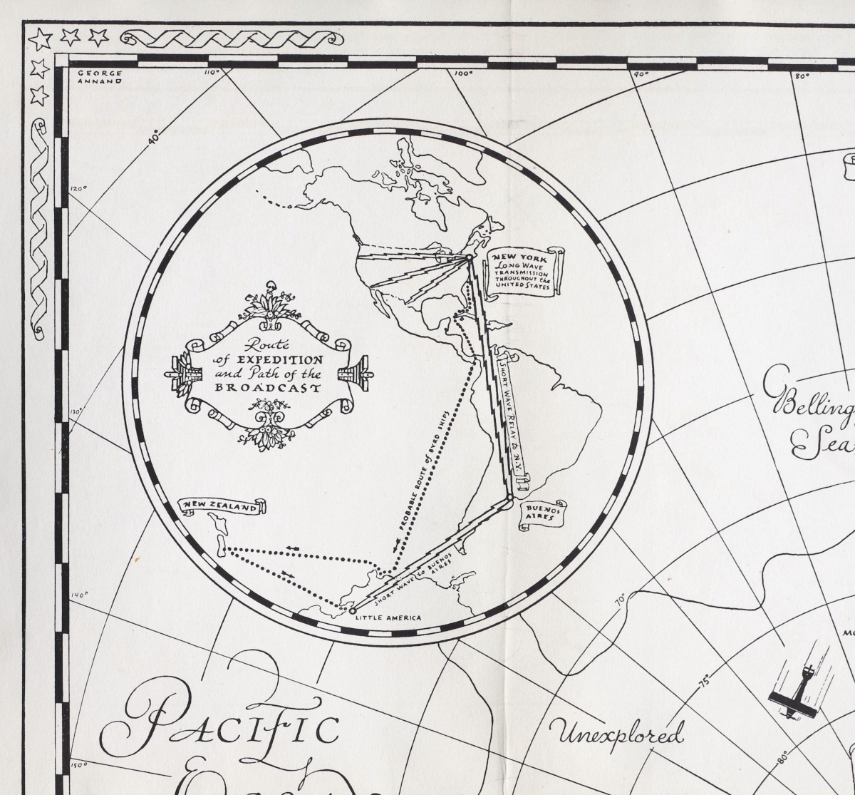
Lithograph map, circa 1934, designed by George Annand, with an inset map of the Bay of Whales (showing the "Little America" camp) and another showing the route of the expedition and it's radio broadcasts, with directions for coloring the map in the lower margin, "This map is not like the ones in your geography books. It is called a decorative map...and should be colored more brightly...", published by General Food Corporation, NY, in a promotion for Grape-Nuts, on cream wove paper, with horizontal and vertical folds as issued; some slight surface dirt to the upper-right quadrant, strengthened with archival tape on the reverse along a few folds, otherwise in very good condition and the less common version of this appealing map
Sheet 18 1/2 x 24 inches
SOLD
PURCHASING INFORMATION
