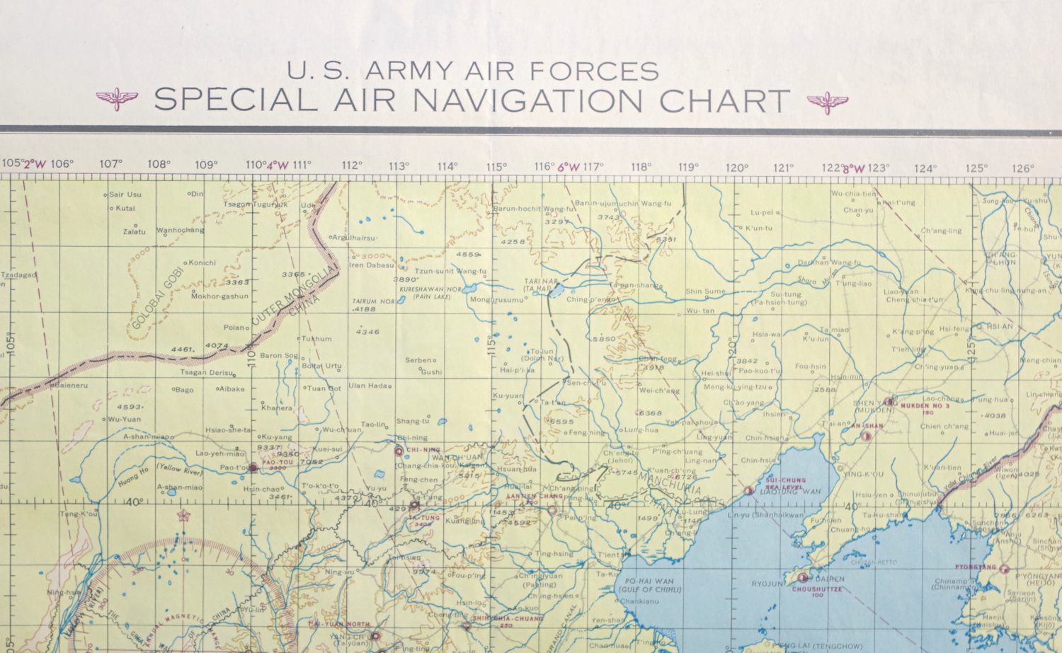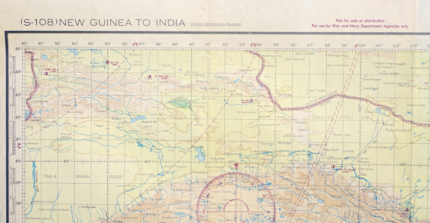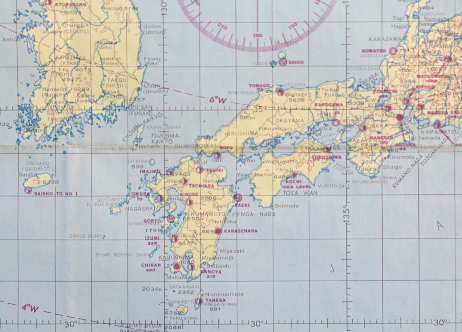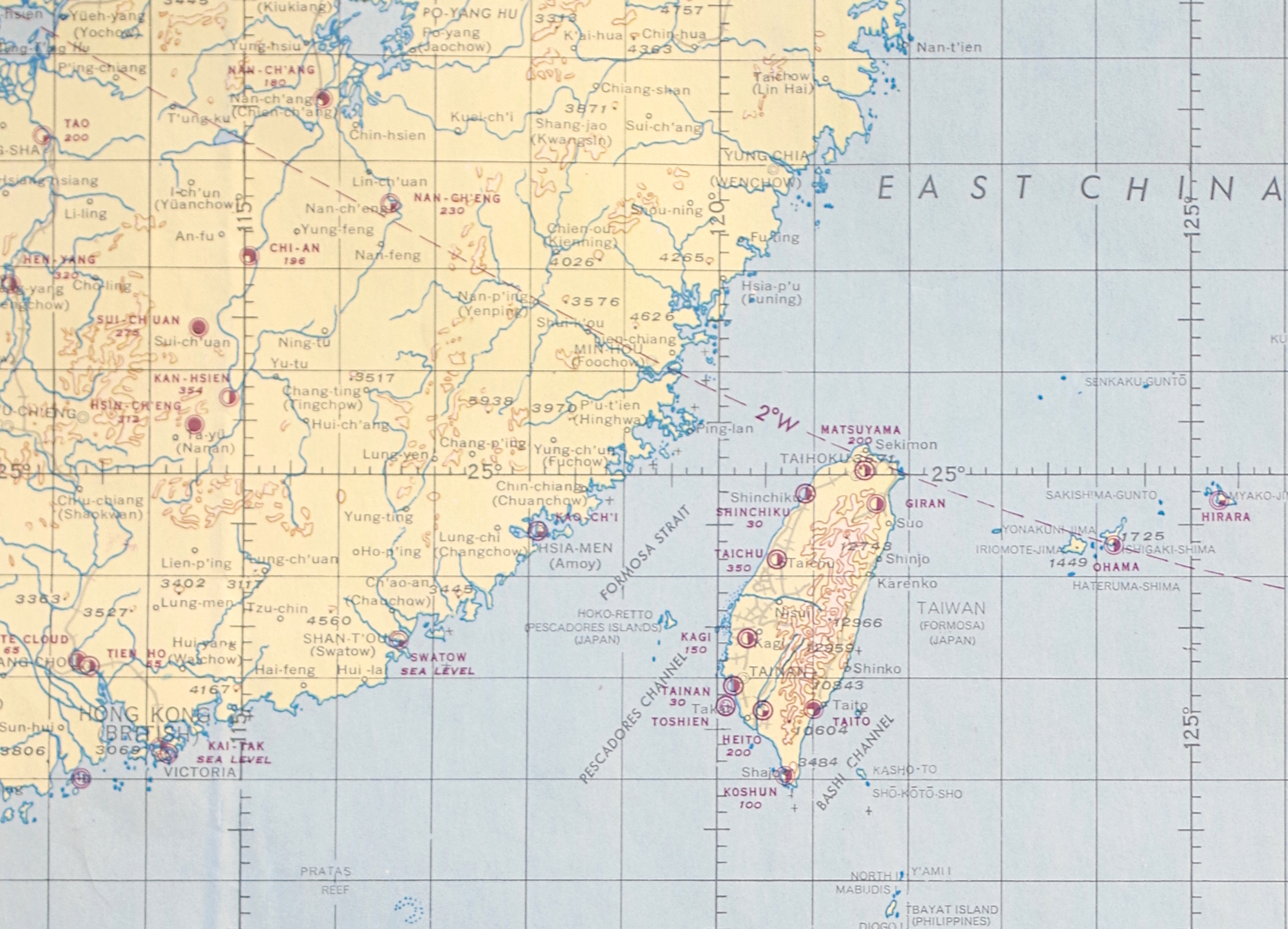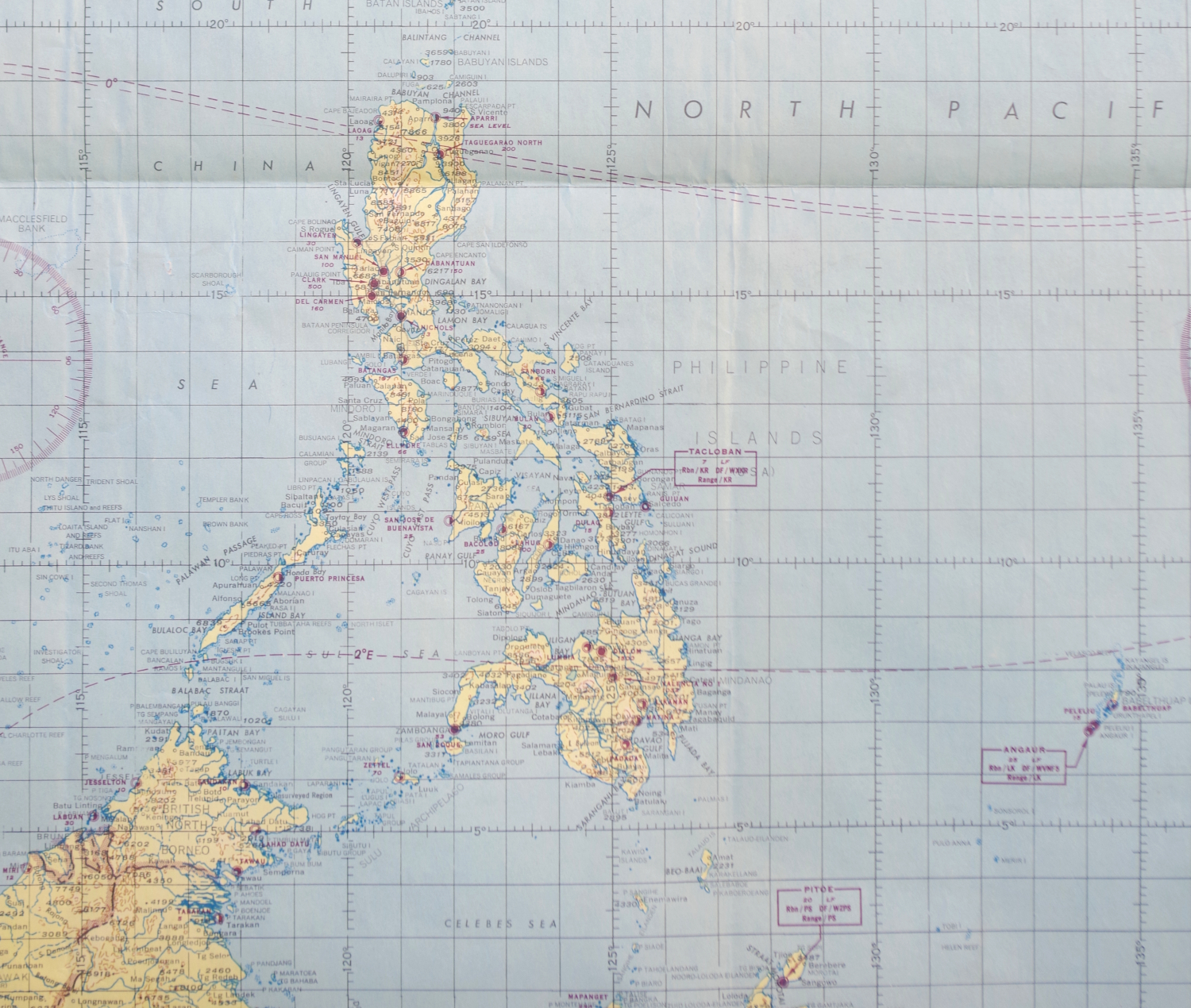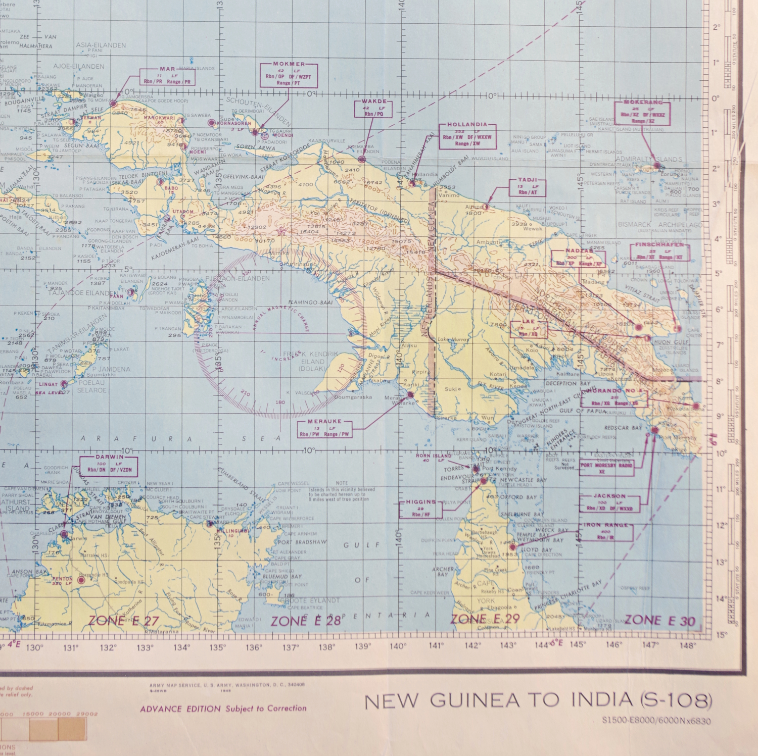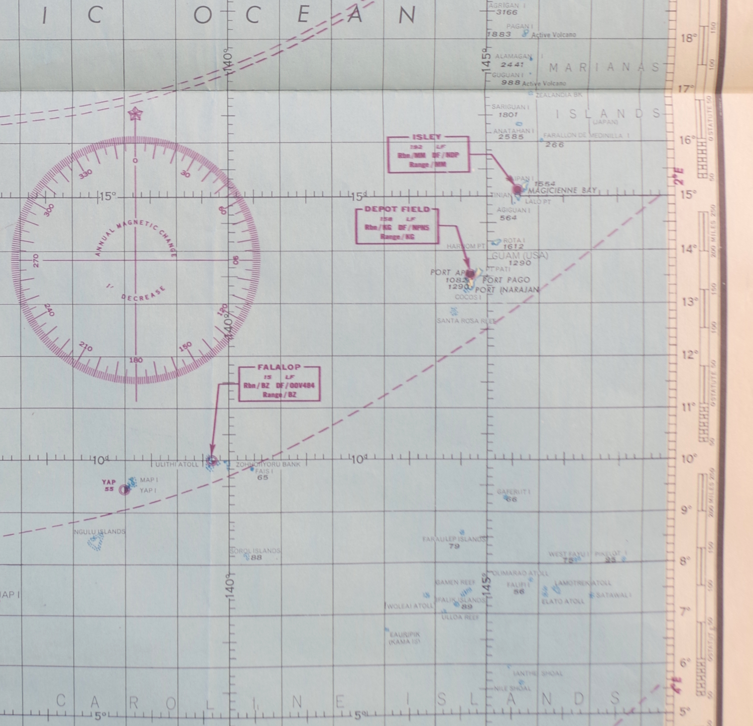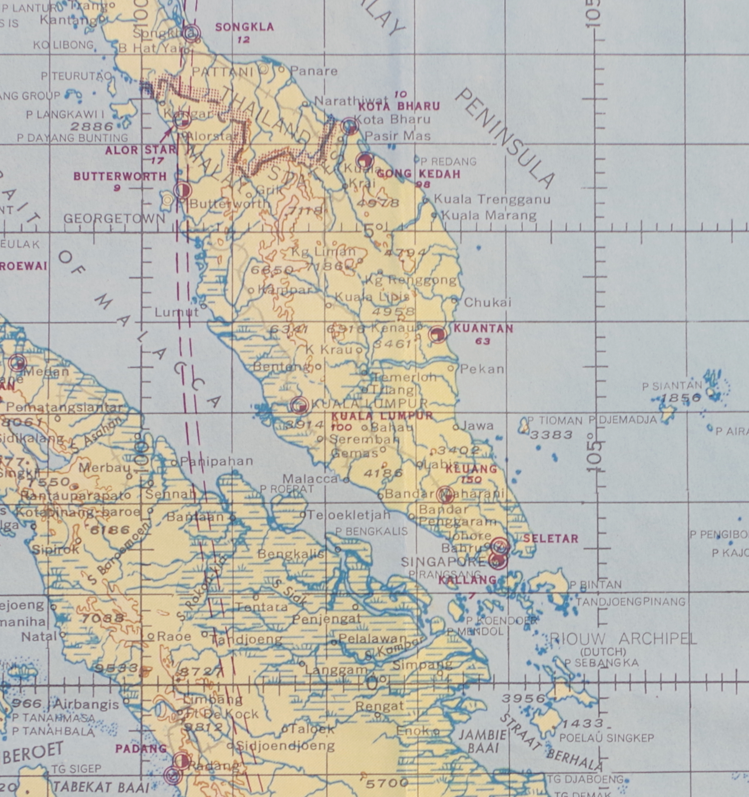
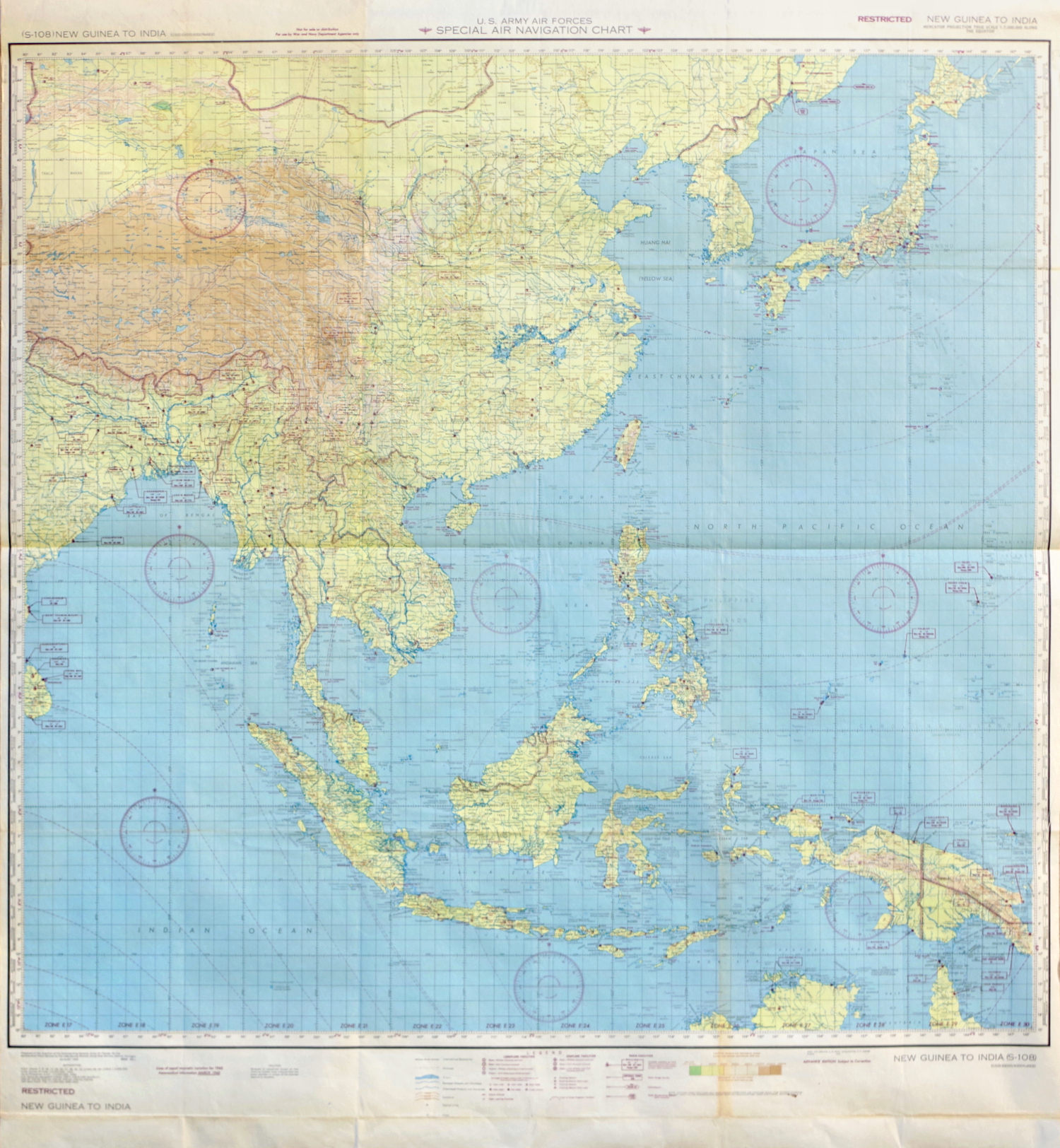
1945 US Air Forces Chart of the Western Pacific
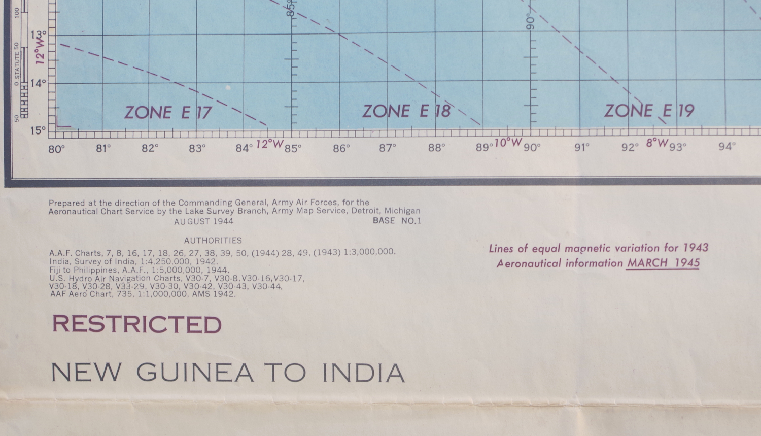
"US Army Air Forces. Special Air Navigation Chart. (S-108) New Guinea to India"
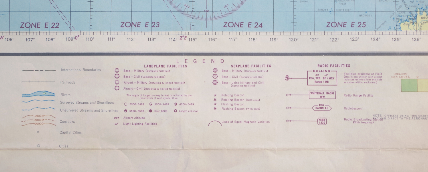
Color-printed chart, August 1944 updated to March 1945, overprinted in purple with locations of radio facilities as well as airstrips, seaplane bases, navigation beacons and more, on cream paper, with horizontal and vertical folds as issues; some slight blurring of the over-printed text upper-right, some light toning upper-left, and some light handling creases, but otherwise in good condition and an interesting map
Sheet 48 1/2 x 45 inches
$550
PURCHASING INFORMATION
